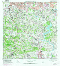
1969 Map of Aguas Buenas
USGS Topo · Published 1982About this map
Aguas Buenas and the surrounding interior highlands of Puerto Rico are captured during a period of significant urban expansion and infrastructure development. The northern portion of the map showcases the southern fringes of the San Juan metropolitan area, including Monacillo Urbano and Guaynabo, where residential developments like Villa Clementina and Parkville signify post-war growth. The landscape is dominated by the winding course of the Rio Grande de Loiza and the reservoir at Lago de Loiza, which serves as a critical water source for the region.
Find a feature on this map
116 named features on this map. Tap any name to fly to it.
Don’t see what you’re looking for? This feature index may not catch every label — zoom into the map to look around manually.
Map Details
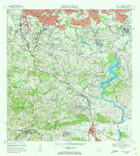
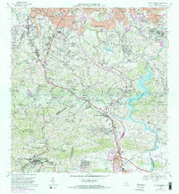
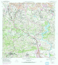
Editions of this 1969 Aguas Buenas Map
4 editions found
Other maps of this area

1940 · Carolina
USGS Topo · 1:30,000

1941 · Bayamon
USGS Topo · 1:30,000

1941 · San Juan
USGS Topo · 1:30,000

1941 · Carolina
USGS Topo · 1:30,000

1946 · Aguas Buenas
USGS Topo · 1:30,000

1946 · Comerio
USGS Topo · 1:30,000

1946 · Naranjito
USGS Topo · 1:30,000

1946 · Gurabo
USGS Topo · 1:30,000

1946 · Juncos
USGS Topo · 1:30,000

1946 · Caguas
USGS Topo · 1:30,000