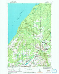
1946 Map of Ahmeek
USGS Topo · Published 1992About this map
Copper mining operations and small residential clusters define this landscape in the Keweenaw Peninsula during the mid-twentieth century. The area is heavily marked by industrial activity, most notably at the Ahmeek Mine and the Red Jacket Mine, which anchored the local economy alongside the Railroad. Settlements like Ahmeek, Allouez, and Copper City are interspersed with smaller localities such as Bumbletown and Centennial Heights, reflecting the dense social fabric of the mining era.
Find a feature on this map
39 named features on this map. Tap any name to fly to it.
Don’t see what you’re looking for? This feature index may not catch every label — zoom into the map to look around manually.
Map Details
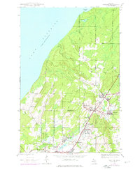
Editions of this 1946 Ahmeek Map
3 editions found
Other maps of this area

1915 · Houghton
USGS Topo · 1:62,500

1941 · Ahmeek
USGS Topo · 1:31,680

1941 · Mohawk
USGS Topo · 1:31,680

1946 · Phoenix
USGS Topo · 1:24,000

1946 · Hancock
USGS Topo · 1:24,000

1946 · Mohawk
USGS Topo · 1:24,000

1946 · Muggun Creek
USGS Topo · 1:24,000

1946 · Ahmeek
USGS Topo · 1:24,000

1946 · Laurium
USGS Topo · 1:24,000

1947 · Phoenix
USGS Topo · 1:24,000