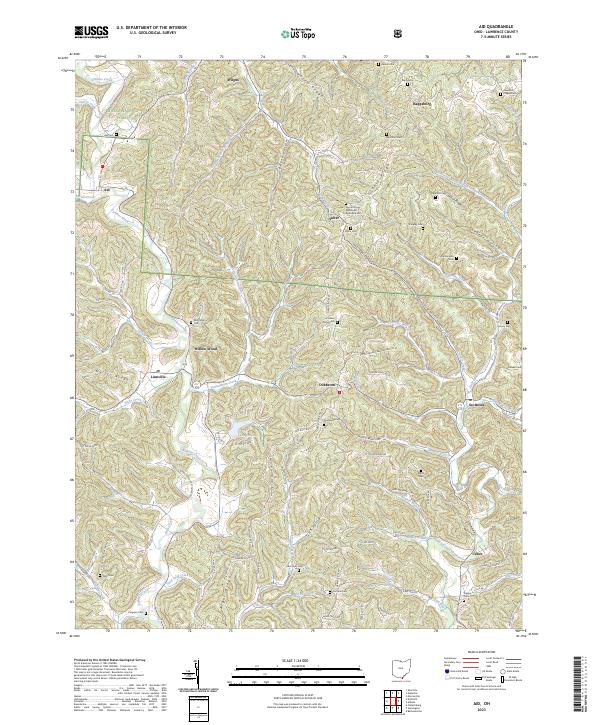
2023 Map of Aid
USGS Topo · Published 2023About this map
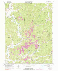
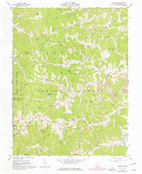
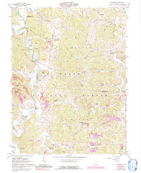
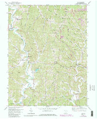
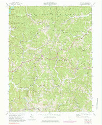
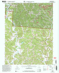
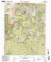
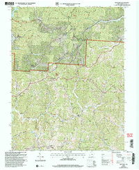
Symmes Creek and its many winding tributaries, including Sharps Creek and DeLoss Creek, define the deeply dissected landscape of Lawrence County. This terrain is characterized by long, high ridges such as Greasy Ridge, Ellsworth Ridge, and Myrtle Ridge, which historically dictated the placement of early settlements and roads. Small communities like Aid, Willow Wood, and Scottown are situated at key crossroads or along the valley floors, often clustered near family-named cemeteries and rural churches that speak to the area's deep-rooted genealogy.
Find a feature on this map
118 named features on this map. Tap any name to fly to it.
Don’t see what you’re looking for? This feature index may not catch every label — zoom into the map to look around manually.
Map Details
Editions of this 2023 Aid Map
This is the sole edition of this map. No revisions or reprints were ever made.
Historical Maps of Scottown Through Time
20 maps found
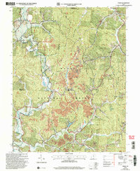
1961 Aid
Lawrence County, OH
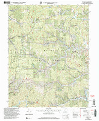
1961 Gallia
Lawrence County, OH
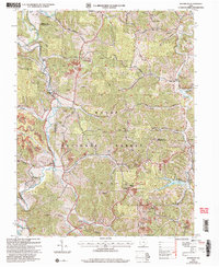
1961 Kitts Hill
Lawrence County, OH
1961 Pedro
Lawrence County, OH
1961 Sherritts
Lawrence County, OH
1961 Waterloo
Lawrence County, OH
1972 Aid
Lawrence County, OH
1972 Kitts Hill
Lawrence County, OH
2002 Aid
Lawrence County, OH
2002 Gallia
Lawrence County, OH
2002 Kitts Hill
Lawrence County, OH
2002 Pedro
Lawrence County, OH
2002 Sherritts
Lawrence County, OH
2002 Waterloo
Lawrence County, OH
2023 Aid
Lawrence County, OH
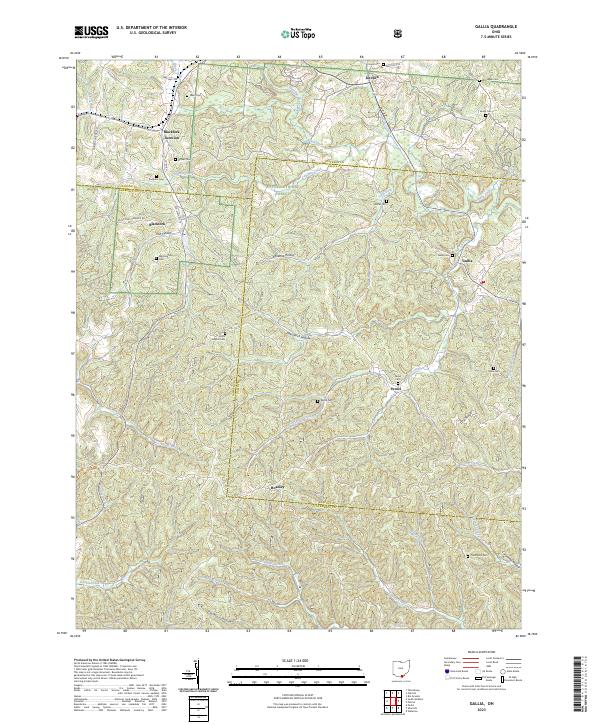
2023 Gallia
Lawrence County, OH
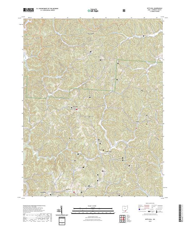
2023 Kitts Hill
Lawrence County, OH
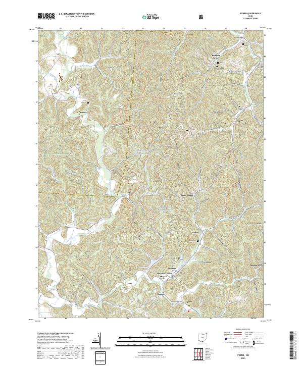
2023 Pedro
Lawrence County, OH
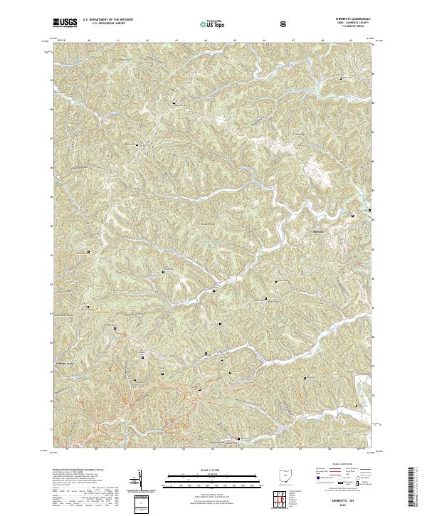
2023 Sherritts
Lawrence County, OH
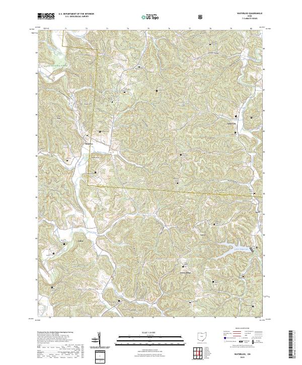
2023 Waterloo
Lawrence County, OH