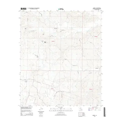
2015 Map of Aimwell
USGS Topo · Published 2015About this map
Sherwood and Spring Ridge anchor this interior landscape of Catahoula Parish, where the topography is defined by the Chalk Hills and local summits like Cassels Hill. The area is notably dense with family and community burial grounds, including the Spring Ridge Cem, Old Spring Ridge Cem, and Siloam Cem, suggesting long-established rural lineages. A complex drainage network of creeks, such as Hooter Cr, Sugar Cr, and Ford Cr, carves through the terrain, influencing the winding paths of local thoroughfares like the Columbia Harrisonburg Rd and Plantation Rd. Near the settlement of Aimwell, the landscape transitions into the watershed of Rocky Cr, while further east, Prichard is situated near Brushy Cr. This map reveals a community structured by creek valleys and a high concentration of small, localized cemeteries.
Find a feature on this map
39 named features on this map. Tap any name to fly to it.
Don’t see what you’re looking for? This feature index may not catch every label — zoom into the map to look around manually.
Map Details
Editions of this 2015 Aimwell Map
This is the sole edition of this map. No revisions or reprints were ever made.
Other maps of this area

1941 · Manifest
USGS Topo · 1:62,500

1941 · Jena
USGS Topo · 1:62,500

1941 · Harrisonburg
USGS Topo · 1:62,500

1953 · Alexandria
USGS Topo · 1:250,000

1953 · Natchez
USGS Topo · 1:250,000

1955 · Alexandria
USGS Topo · 1:250,000

1955 · Olla
USGS Topo · 1:62,500

1956 · Natchez
USGS Topo · 1:250,000

1958 · Jena
USGS Topo · 1:62,500

1959 · Natchez
USGS Topo · 1:250,000