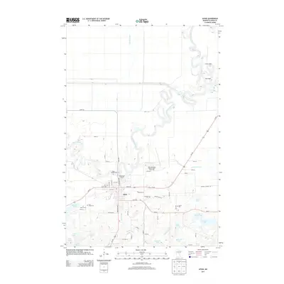
2013 Map of Aitkin
USGS Topo · Published 2013About this map
The Mississippi River winds through this Aitkin County landscape, defining the topography near its confluence with the Ripple River and Rice River. This 2013 survey shows the city of Aitkin as a regional hub, where Us-169 and MN-210 intersect. The map detail reflects a community deeply tied to its geography, with significant civil infrastructure like the Aitkin Municipal Airport-Steve Kurtz Field and the Aitkin County Fairgrounds situated along the river's northern bends.
Find a feature on this map
65 named features on this map. Tap any name to fly to it.
Don’t see what you’re looking for? This feature index may not catch every label — zoom into the map to look around manually.
Map Details
Editions of this 2013 Aitkin Map
This is the sole edition of this map. No revisions or reprints were ever made.
Other maps of this area

1912 · Deerwood
USGS Topo · 1:62,500

1913 · Cuyuna
USGS Topo · 1:62,500

1914 · Deerwood
USGS Topo · 1:62,500

1914 · Aitkin
USGS Topo · 1:62,500

1915 · Aitkin
USGS Topo · 1:62,500

1915 · Cuyuna
USGS Topo · 1:62,500

1916 · Wealthwood
USGS Topo · 1:62,500

1953 · Duluth
USGS Topo · 1:250,000

1958 · Duluth
USGS Topo · 1:250,000

1973 · Iron Hub
USGS Topo · 1:24,000