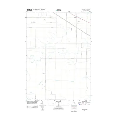
2011 Map of Alamando
USGS Topo · Published 2011About this map
Alamando serves as a central reference point in this corner of Midland County, situated along a transportation corridor defined by W Saginaw Rd and the Pere Marquette Rail Trail. This rail trail follows the path of the historical Pere Marquette railroad, reflecting the transformation of industrial infrastructure into recreational space. The landscape is primarily defined by its drainage patterns, with the Salt River and its various tributaries, including the North Branch Salt River and South Branch Salt River, meandering across the central section of the map.
Find a feature on this map
41 named features on this map. Tap any name to fly to it.
Don’t see what you’re looking for? This feature index may not catch every label — zoom into the map to look around manually.
Map Details
Editions of this 2011 Alamando Map
This is the sole edition of this map. No revisions or reprints were ever made.
Other maps of this area

1930 · Shepherd
USGS Topo · 1:48,000

1934 · Sanford
USGS Topo · 1:62,500

1936 · Shepherd
USGS Topo · 1:62,500

1936 · Sanford
USGS Topo · 1:62,500

1954 · Midland
USGS Topo · 1:250,000

1958 · Midland
USGS Topo · 1:250,000

1959 · Midland
USGS Topo · 1:250,000

1966 · Midland
USGS Topo · 1:250,000

1969 · Coleman
USGS Topo · 1:24,000
1969 · Edenville
USGS Topo · 1:24,000