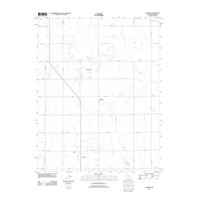
2012 Map of Alameda
USGS Topo · Published 2012About this map
The Alameda and Basil areas of Kingman County define this portion of the Kansas plains, where agriculture and energy extraction coexist along the drainage of the S Fork Ninnescah River. The landscape is organized by a strict grid of section roads, including S Berry Ave and SE 30 Ave, punctuated by the localized activity of the Alameda Oil and Gas Field and the Basil Oil and Gas Field.
Find a feature on this map
44 named features on this map. Tap any name to fly to it.
Don’t see what you’re looking for? This feature index may not catch every label — zoom into the map to look around manually.
Map Details
Editions of this 2012 Alameda Map
This is the sole edition of this map. No revisions or reprints were ever made.
Other maps of this area

1889 · Anthony
USGS Topo · 1:125,000

1889 · Cheney
USGS Topo · 1:125,000

1889 · Caldwell
USGS Topo · 1:125,000

1891 · Cheney
USGS Topo · 1:125,000

1891 · Anthony
USGS Topo · 1:125,000

1892 · Kingman
USGS Topo · 1:125,000

1893 · Caldwell
USGS Topo · 1:125,000

1894 · Kingman
USGS Topo · 1:125,000

1897 · Caldwell
USGS Topo · 1:125,000

1901 · Cheney
USGS Topo · 1:125,000