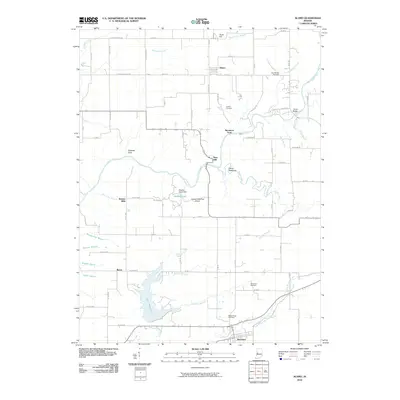
2010 Map of Alamo
USGS Topo · Published 2010About this map
Sugar Creek winds through the heart of this Montgomery County landscape, carving a path past distinctive geological formations like Devils Backbone and Pedestal Rock. This 2010 survey captures a region defined by its rural settlements and historical river crossings, including Sycamore Ford and the site of Deer Mill. To the south, the community of Waveland sits near the shores of Lake Waveland, a significant local reservoir fed by Demeree Creek. The map provides excellent detail for genealogical research, documenting several burial grounds such as Stonebraker Cemetery and Maple Ridge Cemetery. Between the small town of Alamo in the north and Byron in the west, a network of county roads connects numerous small farmsteads and agricultural tracts, illustrating the enduring township structure of western Indiana.
Find a feature on this map
56 named features on this map. Tap any name to fly to it.
Don’t see what you’re looking for? This feature index may not catch every label — zoom into the map to look around manually.
Map Details
Editions of this 2010 Alamo Map
This is the sole edition of this map. No revisions or reprints were ever made.
Other maps of this area

1948 · Wallace
USGS Topo · 1:24,000

1949 · Alamo
USGS Topo · 1:24,000

1953 · Danville
USGS Topo · 1:250,000

1953 · Indianapolis
USGS Topo · 1:250,000

1955 · Danville
USGS Topo · 1:250,000

1955 · Rockville
USGS Topo · 1:24,000

1955 · Russellville
USGS Topo · 1:24,000

1956 · Danville
USGS Topo · 1:250,000

1956 · Indianapolis
USGS Topo · 1:250,000

1956 · Crawfordsville
USGS Topo · 1:24,000