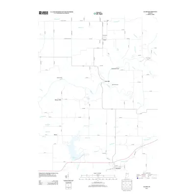
2013 Map of Alamo
USGS Topo · Published 2013About this map
Waveland anchors the southern portion of this landscape, where the confluence of several small waterways like Old Shoe Br and Demeree Cr feed into the expansive Lake Waveland. The terrain north of the lake is characterized by the winding path of Sugar Cr, which carves through significant geological features such as the Devils Backbone and Pedestal Rock. These landmarks, along with Sycamore Ford and Deer Mill, suggest a history tied to the river's power and natural crossings.
Find a feature on this map
88 named features on this map. Tap any name to fly to it.
Don’t see what you’re looking for? This feature index may not catch every label — zoom into the map to look around manually.
Map Details
Editions of this 2013 Alamo Map
This is the sole edition of this map. No revisions or reprints were ever made.
Other maps of this area

1948 · Wallace
USGS Topo · 1:24,000

1949 · Alamo
USGS Topo · 1:24,000

1953 · Danville
USGS Topo · 1:250,000

1953 · Indianapolis
USGS Topo · 1:250,000

1955 · Danville
USGS Topo · 1:250,000

1955 · Rockville
USGS Topo · 1:24,000

1955 · Russellville
USGS Topo · 1:24,000

1956 · Danville
USGS Topo · 1:250,000

1956 · Indianapolis
USGS Topo · 1:250,000

1956 · Crawfordsville
USGS Topo · 1:24,000