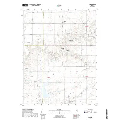
2019 Map of Alamo
USGS Topo · Published 2019About this map
Sugar Creek carves a deep path through this portion of West Central Indiana, where the borders of Montgomery, Parke, and Fountain counties converge. The rugged topography along the waterway is marked by notable geologic formations such as Devils Backbone and Pedestal Rock, while Deer Mill and Sycamore Ford indicate historic points of crossing and industry. The settlement pattern is anchored by the towns of Waveland and Alamo, connected by a network of county roads like Co RD 400 S and Waveland Rd. Researchers will find a wealth of local history in the distribution of family and community burial grounds, including Stonebraker Cem and Maple Ridge Cem. To the south, the expansive Lake Waveland and the surrounding trail systems, including Back Pack Trail near Shades Pond, highlight the area's contemporary role in regional recreation.
Find a feature on this map
74 named features on this map. Tap any name to fly to it.
Don’t see what you’re looking for? This feature index may not catch every label — zoom into the map to look around manually.
Map Details
Editions of this 2019 Alamo Map
This is the sole edition of this map. No revisions or reprints were ever made.
Other maps of this area

1948 · Wallace
USGS Topo · 1:24,000

1949 · Alamo
USGS Topo · 1:24,000

1953 · Danville
USGS Topo · 1:250,000

1953 · Indianapolis
USGS Topo · 1:250,000

1955 · Danville
USGS Topo · 1:250,000

1955 · Rockville
USGS Topo · 1:24,000

1955 · Russellville
USGS Topo · 1:24,000

1956 · Danville
USGS Topo · 1:250,000

1956 · Indianapolis
USGS Topo · 1:250,000

1956 · Crawfordsville
USGS Topo · 1:24,000