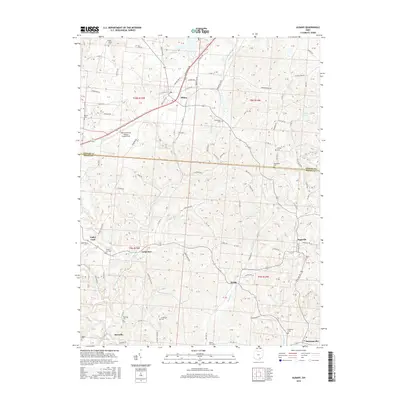
2016 Map of Albany
USGS Topo · Published 2016About this map
Albany serves as the primary hub in this portion of the Appalachian Plateau, situated where the Athens Co and Meigs Co border intersects several historical townships. The landscape is defined by the dendritic drainage of Leading Cr and Margaret Cr, which carve through the terrain to create the distinct ridges and hollows of Southeast Ohio. Cultural markers are dense throughout the countryside, with numerous small burial grounds such as Town House Cem and Crossroads Cem indicating long-established family settlements. The northern portion of the map is dominated by the recreational waters of Lake Snowden and the aviation activity at Ohio University Airport Snyder Field, while the southern reaches transition into smaller unincorporated communities like Valley Ford, Carpenter, and Pageville. These areas reflect a rural economy tied to the land, connected by a network of winding roads like Old US Hwy 50 and Marshfield Rd.
Find a feature on this map
95 named features on this map. Tap any name to fly to it.
Don’t see what you’re looking for? This feature index may not catch every label — zoom into the map to look around manually.
Map Details
Editions of this 2016 Albany Map
This is the sole edition of this map. No revisions or reprints were ever made.
Other maps of this area

1903 · Athens
USGS Topo · 1:62,500

1904 · Zaleski
USGS Topo · 1:62,500

1905 · Athens
USGS Topo · 1:62,500

1905 · Wilkesville
USGS Topo · 1:62,500

1907 · Pomeroy
USGS Topo · 1:62,500

1907 · Zaleski
USGS Topo · 1:62,500

1908 · Wilkesville
USGS Topo · 1:62,500

1947 · Columbus
USGS Topo · 1:250,000

1960 · Albany
USGS Topo · 1:24,000

1960 · Rutland
USGS Topo · 1:24,000