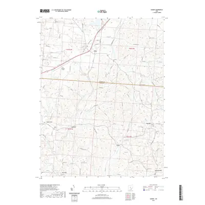
2019 Map of Albany
USGS Topo · Published 2019About this map
The village of Albany serves as the focal point of this 2019 survey, where the rolling landscape of Southeast Ohio meets the border between Athens and Meigs counties. This area is defined by its dense network of rural cemeteries and family-named landmarks, offering significant value for genealogical research. Notable burial sites such as Town House Cem, School Lot Cem, and Shipman Cem are scattered throughout the countryside, often located near small settlements like Carpenter, Dyesville, and Harrisonville.
Find a feature on this map
102 named features on this map. Tap any name to fly to it.
Don’t see what you’re looking for? This feature index may not catch every label — zoom into the map to look around manually.
Map Details
Editions of this 2019 Albany Map
This is the sole edition of this map. No revisions or reprints were ever made.
Other maps of this area

1903 · Athens
USGS Topo · 1:62,500

1904 · Zaleski
USGS Topo · 1:62,500

1905 · Athens
USGS Topo · 1:62,500

1905 · Wilkesville
USGS Topo · 1:62,500

1907 · Pomeroy
USGS Topo · 1:62,500

1907 · Zaleski
USGS Topo · 1:62,500

1908 · Wilkesville
USGS Topo · 1:62,500

1947 · Columbus
USGS Topo · 1:250,000

1960 · Albany
USGS Topo · 1:24,000

1960 · Rutland
USGS Topo · 1:24,000