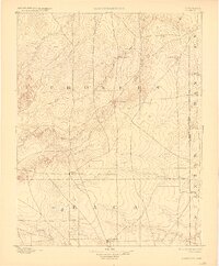
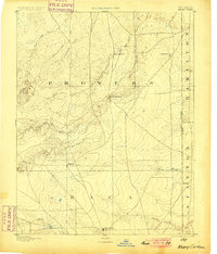
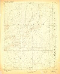
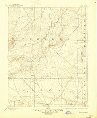
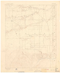
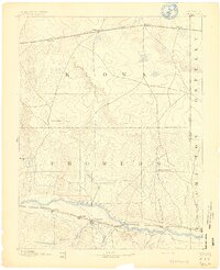
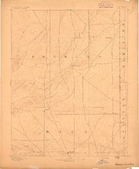
1893 Map of Albany
USGS Topo · Published 1927About this map
The Santa Fe Trail cuts across the northwest corner of this High Plains landscape, marking a historical corridor of westward expansion. Surveyed in 1890, the map documents the sparse settlement patterns along the Colorado Kansas Boundary Line before extensive irrigation transformed the region. Small outposts and water sources define the survival of early residents, with Albany and Minneapolis serving as central points in the southern section of Prowers and northern Baca counties.
Find a feature on this map
21 named features on this map. Tap any name to fly to it.
Don’t see what you’re looking for? This feature index may not catch every label — zoom into the map to look around manually.
Map Details
Editions of this 1893 Albany Map
5 editions found
Other maps of this area

1890 · Granada
USGS Topo · 1:125,000

1891 · Albany
USGS Topo · 1:125,000

1891 · Springfield
USGS Topo · 1:125,000

1892 · Lamar
USGS Topo · 1:125,000
1892 · Vilas
USGS Topo · 1:125,000
1892 · Granada
USGS Topo · 1:125,000

1892 · Two Butte
USGS Topo · 1:125,000

1893 · Two Butte
USGS Topo · 1:125,000

1893 · Springfield
USGS Topo · 1:125,000
1893 · Albany
USGS Topo · 1:125,000