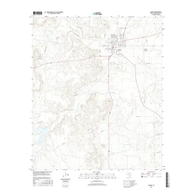
2016 Map of Albany
USGS Topo · Published 2016About this map
Albany serves as the focal point of this Shackelford County landscape, where the town's grid is defined by historical corridors like Baird St and S Jacobs St. The surrounding terrain is heavily influenced by the drainage patterns of the Salt Prong Hubbard Cr and its northern fork, which carve through the ranching country. To the west, McCarty Lake provides a significant water feature accessed by Albany Lake Rd. The local infrastructure is a mix of traditional ranching access and modern transportation, with Newell Ranch Rd winding through the uplands and the Albany Municipal Airport situated just east of the main settlement. Small tributaries such as Indian Cr and Cook Cr crisscross the area, illustrating the varied hydrology of the Rolling Plains.
Find a feature on this map
59 named features on this map. Tap any name to fly to it.
Don’t see what you’re looking for? This feature index may not catch every label — zoom into the map to look around manually.
Map Details
Editions of this 2016 Albany Map
This is the sole edition of this map. No revisions or reprints were ever made.
Other maps of this area
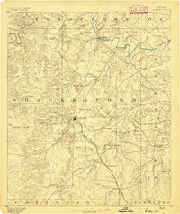
1892 · Albany
USGS Topo · 1:125,000
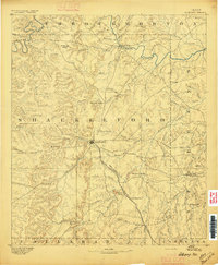
1893 · Albany
USGS Topo · 1:125,000
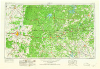
1954 · Abilene
USGS Topo · 1:250,000
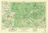
1958 · Abilene
USGS Topo · 1:250,000
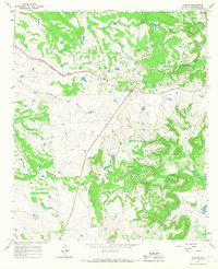
1965 · Acampo
USGS Topo · 1:24,000
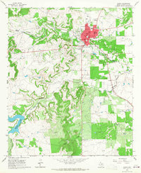
1965 · Albany
USGS Topo · 1:24,000
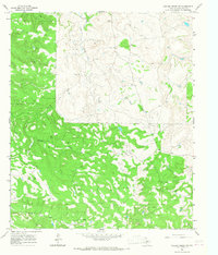
1965 · Collins Creek SW
USGS Topo · 1:24,000
1965 · McCatherine Mountain
USGS Topo · 1:24,000
1965 · Murphy Creek
USGS Topo · 1:24,000
1965 · Round Hill
USGS Topo · 1:24,000