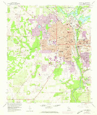
1956 Map of Albany West
USGS Topo · Published 1973About this map
The Flint River defines the landscape of Albany during a period of significant mid-century expansion into Dougherty Co. The map records a dense institutional and educational network, featuring Albany State College, the Hazard Training Sch, and a dozen other local schools such as Monroe High Sch and Carver Park Jr High Sch. Urban growth is visible through the purple-tinted extensions, contrasting the established city grid with the evolving residential areas near Lake Loretta and Palmyra Sch. To the north, Chehaw State Park sits at the confluence of Muckalee Creek and Kinchafoonee Creek. The southern reach of the city is marked by the U S Naval Res Marine Corps Supply Center and the famous Radium Springs area, reflecting the diverse military and recreational influences that shaped this Georgia hub.
Find a feature on this map
61 named features on this map. Tap any name to fly to it.
Don’t see what you’re looking for? This feature index may not catch every label — zoom into the map to look around manually.
Map Details
Editions of this 1956 Albany West Map
4 editions found
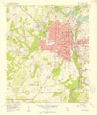
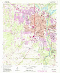
Other maps of this area

1953 · Dothan
USGS Topo · 1:250,000

1954 · Dothan
USGS Topo · 1:250,000

1955 · Dothan
USGS Topo · 1:250,000

1956 · Albany East
USGS Topo · 1:24,000

1956 · Albany West
USGS Topo · 1:24,000

1956 · Baconton
USGS Topo · 1:62,500

1956 · Newton
USGS Topo · 1:62,500

1956 · Sasser
USGS Topo · 1:62,500

1956 · Albany
USGS Topo · 1:62,500

1973 · Sasser
USGS Topo · 1:24,000