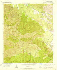
1954 Map of Alberhill
USGS Topo · Published 1955About this map
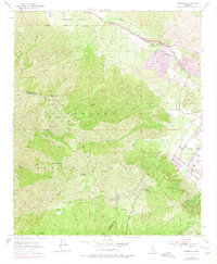
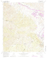
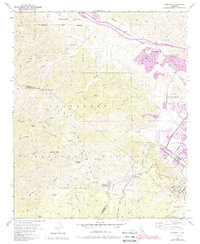
The Temescal Valley industrial corridor centers on the settlement of Alberhill, dominated by its Ceramic Factory and extensive Clay Pits in the mid-1950s. The Atchison Topeka and Santa Fe railroad tracks follow the Temescal Wash, providing the vital transportation link for the region's mineral extraction. High above the valley floor, the landscape transitions into the Cleveland National Forest, where steep canyons like Horsethief Canyon and Indian Canyon define the terrain.
Find a feature on this map
45 named features on this map. Tap any name to fly to it.
Don’t see what you’re looking for? This feature index may not catch every label — zoom into the map to look around manually.
Map Details
Editions of this 1954 Alberhill Map
7 editions found
Other maps of this area

1901 · Southern California Sheet No. 1
USGS Topo · 1:250,000

1901 · Elsinore
USGS Topo · 1:125,000

1901 · Riverside
USGS Topo · 1:62,500

1902 · Corona
USGS Topo · 1:125,000

1904 · Southern California Sheet No. 1
USGS Topo · 1:250,000

1942 · Lake Elsinore
USGS Topo · 1:62,500

1942 · Santiago Peak
USGS Topo · 1:62,500

1942 · Corona
USGS Topo · 1:62,500

1942 · Riverside
USGS Topo · 1:62,500
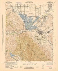
1943 · Corona
USGS Topo · 1:62,500