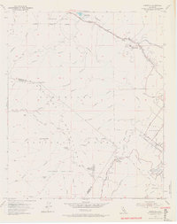
1954 Map of Alberhill
USGS Topo · Published 1967About this map
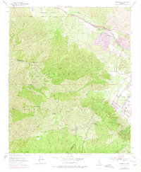
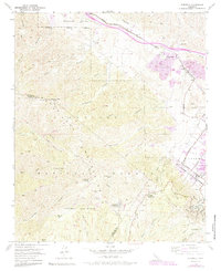
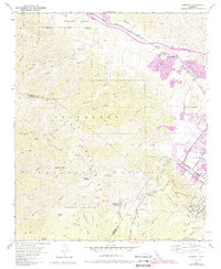
Alberhill anchors the industrial character of the Temescal Valley in the mid-1950s, defined by the extensive Clay Pits and a Ceramic Factory that utilized the area's rich mineral deposits. The Atchison Topeka and Santa Fe railroad cuts through the valley, providing the essential transport link for the local clay works and connecting the settlement to the broader region. This industrial corridor contrasts sharply with the high elevations of the Santa Ana Mountains, where the Cleveland National Forest protects landmarks like Trabuco Peak and Los Pinos Peak.
Find a feature on this map
59 named features on this map. Tap any name to fly to it.
Don’t see what you’re looking for? This feature index may not catch every label — zoom into the map to look around manually.
Map Details
Editions of this 1954 Alberhill Map
7 editions found
Other maps of this area

1901 · Southern California Sheet No. 1
USGS Topo · 1:250,000

1901 · Elsinore
USGS Topo · 1:125,000

1901 · Riverside
USGS Topo · 1:62,500

1902 · Corona
USGS Topo · 1:125,000

1904 · Southern California Sheet No. 1
USGS Topo · 1:250,000

1942 · Lake Elsinore
USGS Topo · 1:62,500

1942 · Santiago Peak
USGS Topo · 1:62,500

1942 · Corona
USGS Topo · 1:62,500

1942 · Riverside
USGS Topo · 1:62,500
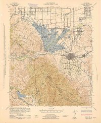
1943 · Corona
USGS Topo · 1:62,500