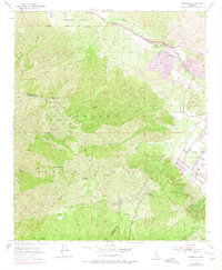
1954 Map of Alberhill
USGS Topo · Published 1975About this map
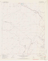
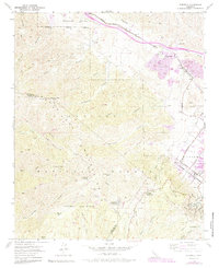
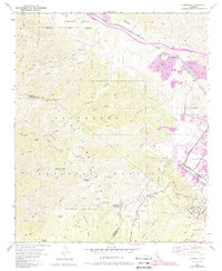
Alberhill serves as the industrial hub for this portion of the Temescal Valley, characterized by the mining operations of the Clay Pit and proximity to the Atchison Topeka and Santa Fe railroad. The landscape transitions sharply from these industrial lowlands into the high ridges of the Santa Ana Mountains and Elsinore Mountains, much of which is contained within the Cleveland National Forest. Evidence of resource extraction and land management is visible through the Old Dominion Mine and the El Cariso Guard Sta.
Find a feature on this map
54 named features on this map. Tap any name to fly to it.
Don’t see what you’re looking for? This feature index may not catch every label — zoom into the map to look around manually.
Map Details
Editions of this 1954 Alberhill Map
7 editions found
Other maps of this area

1901 · Southern California Sheet No. 1
USGS Topo · 1:250,000

1901 · Elsinore
USGS Topo · 1:125,000

1901 · Riverside
USGS Topo · 1:62,500

1902 · Corona
USGS Topo · 1:125,000

1904 · Southern California Sheet No. 1
USGS Topo · 1:250,000

1942 · Lake Elsinore
USGS Topo · 1:62,500

1942 · Santiago Peak
USGS Topo · 1:62,500

1942 · Corona
USGS Topo · 1:62,500

1942 · Riverside
USGS Topo · 1:62,500
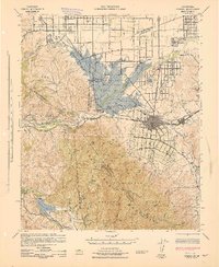
1943 · Corona
USGS Topo · 1:62,500