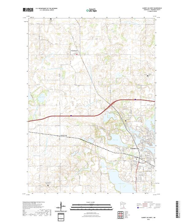
2022 Map of Albert Lea West
USGS Topo · Published 2022About this map
Albert Lea serves as the primary hub of this landscape, situated at the confluence of several glacial water bodies including Fountain Lake and the Shell Rock River. The surrounding prairie is defined by an extensive network of water management, evidenced by numerous channels such as County Ditch Number Fiftyeight and Judicial Ditch Number Five. This complex drainage system highlights the region's agricultural intensity and the modification of the natural hydrology to support rural farmsteads.
Find a feature on this map
74 named features on this map. Tap any name to fly to it.
Don’t see what you’re looking for? This feature index may not catch every label — zoom into the map to look around manually.
Map Details
Editions of this 2022 Albert Lea West Map
This is the sole edition of this map. No revisions or reprints were ever made.
Other maps of this area

1954 · Albert Lea
USGS Topo · 1:62,500

1954 · Mason City
USGS Topo · 1:250,000

1955 · Wells
USGS Topo · 1:62,500

1957 · Mason City
USGS Topo · 1:250,000

1958 · Mason City
USGS Topo · 1:250,000

1967 · Freeborn
USGS Topo · 1:24,000

1967 · Hartland
USGS Topo · 1:24,000

1967 · Ellendale
USGS Topo · 1:24,000

1982 · Albert Lea West
USGS Topo · 1:24,000
1982 · Emmons
USGS Topo · 1:24,000