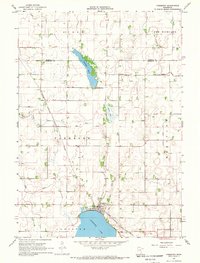
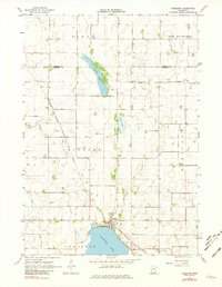
1967 Map of Freeborn
USGS Topo · Published 1969About this map
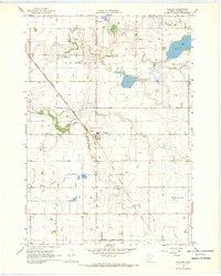
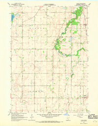
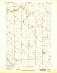
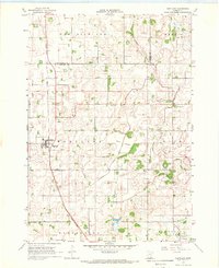
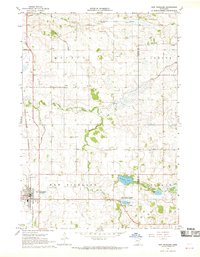
The settlement of Freeborn anchors this agricultural landscape in the late 1960s, situated on the northern shore of Freeborn Lake. This map captures a highly modified hydrologic system where natural water bodies like Trenton Lake and Spicer Lake exist alongside an extensive network of drainage infrastructure, including Judicial Ditch No 8 and the Cobb Creek Ditch. These man-made channels support the intensive farming across townships like Byron and Hartland.
Find a feature on this map
21 named features on this map. Tap any name to fly to it.
Don’t see what you’re looking for? This feature index may not catch every label — zoom into the map to look around manually.
Map Details
Editions of this 1967 Freeborn Map
2 editions found
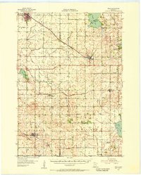
Other maps of this area
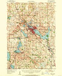
1954 · Albert Lea
USGS Topo · 1:62,500

1954 · Mason City
USGS Topo · 1:250,000
1955 · Wells
USGS Topo · 1:62,500

1957 · Mason City
USGS Topo · 1:250,000

1958 · Mason City
USGS Topo · 1:250,000
1967 · Waldorf
USGS Topo · 1:24,000
1967 · Otisco
USGS Topo · 1:24,000
1967 · Matawan
USGS Topo · 1:24,000
1967 · Hartland
USGS Topo · 1:24,000
1967 · New Richland
USGS Topo · 1:24,000