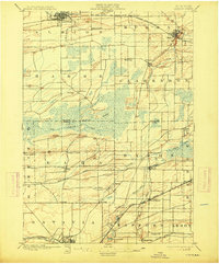
1897 Map of Albion
USGS Topo · Published 1914About this map
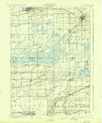
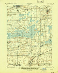
Albion and Batavia anchor this turn-of-the-century landscape, connected by a network of critical nineteenth-century transport corridors. The Erie Canal cuts through the northern section near Holley and Rich's Corners, while multiple rail lines, including the New York Central and Hudson River R. R. and the Lehigh Valley R. R., crisscross the central and southern townships. This infrastructure supported a rural economy built around the drainage of the expansive Oak Orchard Swamp, a dominant natural feature that separates the northern settlements from the rolling hills to the south. Small, family-named hamlets like Genung, Daws, and Newkirk appear alongside crossroads such as Langton Corners, revealing the dense pattern of early Western New York settlement before the widespread adoption of the automobile. The map also captures the Orleans Co. Genesee Co. Boundary Line as it passes through the swamp and various creek basins.
Find a feature on this map
46 named features on this map. Tap any name to fly to it.
Don’t see what you’re looking for? This feature index may not catch every label — zoom into the map to look around manually.
Map Details
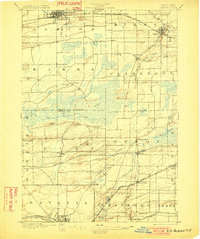
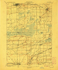
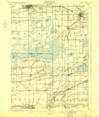
Editions of this 1897 Albion Map
7 editions found
Other maps of this area

1897 · Albion
USGS Topo · 1:62,500

1897 · Medina
USGS Topo · 1:62,500

1897 · Oak Orchard
USGS Topo · 1:62,500

1897 · Ridgeway
USGS Topo · 1:62,500

1899 · Hamlin
USGS Topo · 1:62,500

1899 · Brockport
USGS Topo · 1:62,500

1904 · Batavia
USGS Topo · 1:62,500

1904 · Caledonia
USGS Topo · 1:62,500

1905 · Attica
USGS Topo · 1:62,500

1932 · Hamlin
USGS Topo · 1:24,000