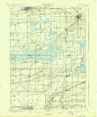
1897 Map of Albion
USGS Topo · Published 1937About this map
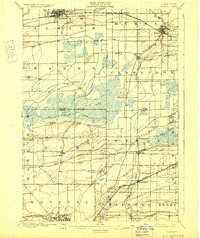
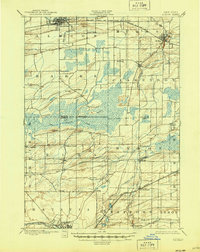
The Erie Canal flows through the northern villages of Albion and Holley, anchoring a landscape defined by 19th-century transit and agricultural drainage. This 1896 survey, published in the 1930s, reveals a complex web of rail infrastructure spanning the boundary between Orleans and Genesee counties. Major corridors like the Niagara Falls Line and the West Shore R.R. bisect the townships, connecting smaller agricultural hubs like Byron and Elba. The central portion of the map is dominated by the Oak Orchard Swamp, where the Oak Orchard Creek and various ditches indicate early efforts to manage the wetlands for cultivation. In the south, the city of Batavia sits at a major rail junction along Tonawanda Creek, while family-named landmarks like Pumpkin Hill and Genung suggest the deeply settled rural character of the era.
Find a feature on this map
52 named features on this map. Tap any name to fly to it.
Don’t see what you’re looking for? This feature index may not catch every label — zoom into the map to look around manually.
Map Details
Editions of this 1897 Albion Map
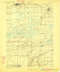
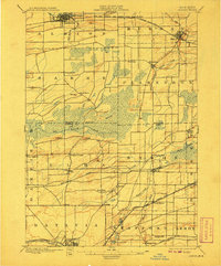
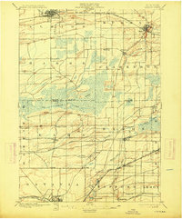
7 editions found
Other maps of this area

1897 · Albion
USGS Topo · 1:62,500

1897 · Medina
USGS Topo · 1:62,500

1897 · Oak Orchard
USGS Topo · 1:62,500

1897 · Ridgeway
USGS Topo · 1:62,500

1899 · Hamlin
USGS Topo · 1:62,500

1899 · Brockport
USGS Topo · 1:62,500

1904 · Batavia
USGS Topo · 1:62,500

1904 · Caledonia
USGS Topo · 1:62,500

1905 · Attica
USGS Topo · 1:62,500

1932 · Hamlin
USGS Topo · 1:24,000