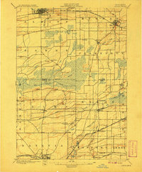
1897 Map of Albion
USGS Topo · Published 1907About this map
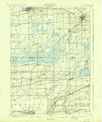
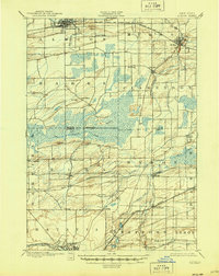
The Erie Canal defines the northern edge of this landscape, anchoring the bustling village of Albion as it appeared at the turn of the century. This 1897 survey illustrates a highly developed agricultural corridor where transportation networks dictated growth. To the south, the massive Oak Orchard Swamp dominates the central terrain, acting as a natural divider between the northern canal towns and the southern rail junctions. The map reveals the intricate rural layout of Genesee and Orleans counties, featuring local hubs like Barre Center and South Barre that served as vital nodes for the surrounding farmsteads.
Find a feature on this map
51 named features on this map. Tap any name to fly to it.
Don’t see what you’re looking for? This feature index may not catch every label — zoom into the map to look around manually.
Map Details
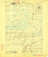
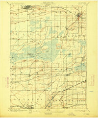
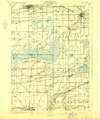
Editions of this 1897 Albion Map
7 editions found
Other maps of this area

1897 · Albion
USGS Topo · 1:62,500

1897 · Medina
USGS Topo · 1:62,500

1897 · Oak Orchard
USGS Topo · 1:62,500

1897 · Ridgeway
USGS Topo · 1:62,500

1899 · Hamlin
USGS Topo · 1:62,500

1899 · Brockport
USGS Topo · 1:62,500

1904 · Batavia
USGS Topo · 1:62,500

1904 · Caledonia
USGS Topo · 1:62,500

1905 · Attica
USGS Topo · 1:62,500

1932 · Hamlin
USGS Topo · 1:24,000