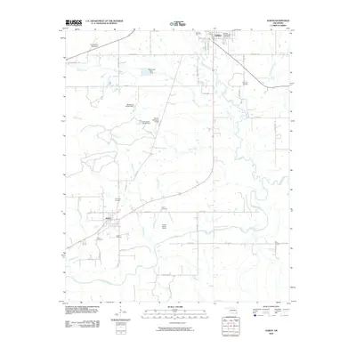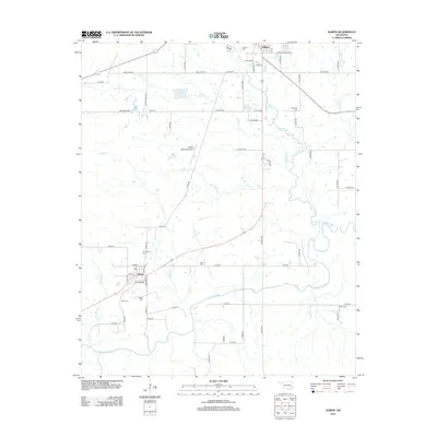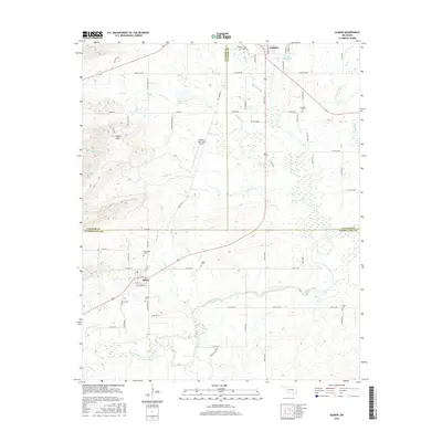
2022 Map of Albion
USGS Topo · Published 2022About this map
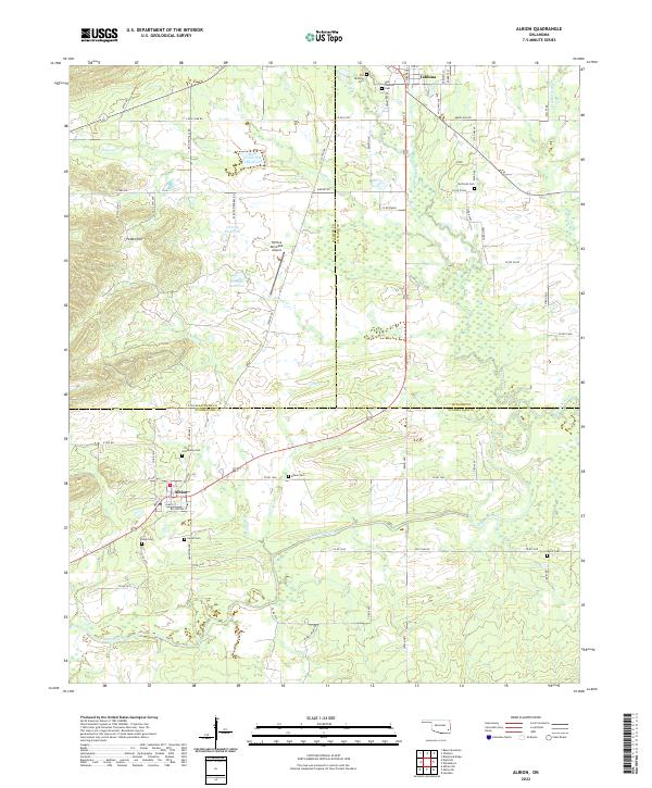
Talihina and Albion serve as the primary anchors for this region where the Kiamichi River valley meets the complex geology of the Potato Hills. The landscape is a patchwork of small settlements and family burial grounds, reflecting the deep-rooted community history of Pushmataha, Latimer, and Le Flore counties. Numerous cemeteries, including the Old Talihina Cem, Armstrong Cem, and Noah Cem, are scattered across the terrain, providing vital points of reference for genealogical research and local history.
Find a feature on this map
52 named features on this map. Tap any name to fly to it.
Don’t see what you’re looking for? This feature index may not catch every label — zoom into the map to look around manually.
Map Details
Editions of this 2022 Albion Map
This is the sole edition of this map. No revisions or reprints were ever made.
Historical Maps of Talihina Through Time
6 maps found