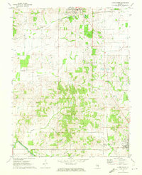
1971 Map of Albion South
USGS Topo · Published 1973About this map
Little Wabash River meanders through the southwestern corner of this Edwards County landscape, marked by river features like Dixon Shoals and Height Shoals. The 1970s terrain reflects a complex resource economy, where the industrial presence of the Albion Gas Field and a significant Tank Farm sit alongside traditional agricultural land. In the north, the outskirts of Albion show modern municipal developments such as Sewage Disposal Ponds and a Radio Tower Substation, while a Shale Pit indicates local mineral extraction.
Find a feature on this map
32 named features on this map. Tap any name to fly to it.
Don’t see what you’re looking for? This feature index may not catch every label — zoom into the map to look around manually.
Map Details
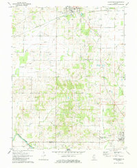
Editions of this 1971 Albion South Map
2 editions found
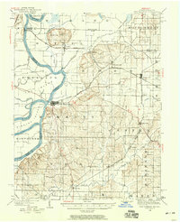
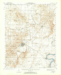
Other maps of this area

1903 · New Harmony
USGS Topo · 1:62,500

1903 · Patoka
USGS Topo · 1:125,000

1904 · Mount Carmel
USGS Topo · 1:62,500
1938 · New Harmony
USGS Topo · 1:62,500
1940 · Carmi
USGS Topo · 1:62,500
1943 · Carmi
USGS Topo · 1:62,500
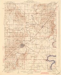
1943 · Albion
USGS Topo · 1:62,500
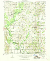
1946 · Albion
USGS Topo · 1:62,500

1956 · Vincennes
USGS Topo · 1:250,000

1957 · Vincennes
USGS Topo · 1:250,000