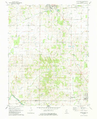
1971 Map of Albion South
USGS Topo · Published 1984About this map
The Little Wabash River defines the southwestern corner of this survey, where Dixon Shoals and Height Shoals mark the river's path through the bottomlands. Between the primary settlements of Albion to the north and Grayville in the south, the landscape is defined by its mid-century energy infrastructure. Extensive petroleum extraction is evident across the Albion Field, the Albion East Oil Field, and a large Tank Farm located east of West Cem.
Find a feature on this map
37 named features on this map. Tap any name to fly to it.
Don’t see what you’re looking for? This feature index may not catch every label — zoom into the map to look around manually.
Map Details
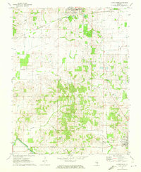
Editions of this 1971 Albion South Map
2 editions found
Other maps of this area

1903 · New Harmony
USGS Topo · 1:62,500

1903 · Patoka
USGS Topo · 1:125,000

1904 · Mount Carmel
USGS Topo · 1:62,500

1938 · New Harmony
USGS Topo · 1:62,500

1940 · Carmi
USGS Topo · 1:62,500

1943 · Carmi
USGS Topo · 1:62,500

1943 · Albion
USGS Topo · 1:62,500

1946 · Albion
USGS Topo · 1:62,500

1956 · Vincennes
USGS Topo · 1:250,000

1957 · Vincennes
USGS Topo · 1:250,000