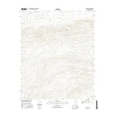
2016 Map of Albion SW
USGS Topo · Published 2016About this map
The Kiamichi Mountains dominate this Pushmataha County landscape, where elevation and hydrology dictate the local transit patterns. The northern reaches are defined by the Kiamichi River, while a series of high ridges and deep valleys organize the remaining terrain. A network of dedicated mountain trails, such as the K Trl, Clayton Trl, and Black Fork Trl, provide the primary access through these wooded heights, following natural contours and ridgelines. These trails often parallel or lead toward seasonal waterways like Black Fork, Cripple Cr, and Garland Cr. The map illustrates a region where permanent settlements are largely absent, replaced by a specialized grid of rural roads and forest paths, including Fish Farm Rd and Bulldog Blvd in the more accessible northern lowlands near the river valley.
Find a feature on this map
17 named features on this map. Tap any name to fly to it.
Don’t see what you’re looking for? This feature index may not catch every label — zoom into the map to look around manually.
Map Details
Editions of this 2016 Albion SW Map
This is the sole edition of this map. No revisions or reprints were ever made.
Other maps of this area

1901 · Tuskahoma
USGS Topo · 1:125,000

1901 · Alikchi
USGS Topo · 1:125,000

1908 · Tuskahoma
USGS Topo · 1:125,000

1909 · Tuskahoma
USGS Topo · 1:125,000

1950 · Mcalester
USGS Topo · 1:250,000

1962 · McAlester
USGS Topo · 1:250,000

1965 · McAlester
USGS Topo · 1:250,000

1971 · Yanush
USGS Topo · 1:24,000
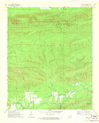
1971 · Albion SE
USGS Topo · 1:24,000

1971 · Kiamichi
USGS Topo · 1:24,000