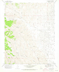
1969 Map of Alcalde Hills
USGS Topo · Published 1973About this map
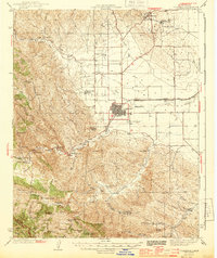
The Alcalde Hills form a rugged topographic barrier between the agricultural expanses of Coalinga Valley and the western drainages of Fresno County. In the late 1960s, this landscape was defined by an intricate network of deep canyons and water sources, including Coyote Canyon, Nunez Canyon, and Coalmine Canyon. The terrain rises sharply to Juniper Ridge and the Post landmark, while lower elevations near Oak Flat show the sparse evidence of human habitation such as Sprague Cabin.
Find a feature on this map
51 named features on this map. Tap any name to fly to it.
Don’t see what you’re looking for? This feature index may not catch every label — zoom into the map to look around manually.
Map Details
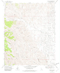
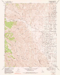
Editions of this 1969 Alcalde Hills Map
3 editions found
Other maps of this area

1912 · Coalinga
USGS Topo · 1:125,000

1915 · Priest Valley
USGS Topo · 1:125,000

1936 · Kreyenhagen Hills
USGS Topo · 1:31,680
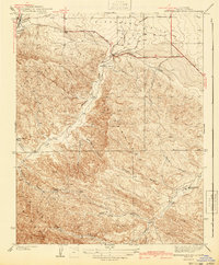
1941 · Kreyenhagen Hills
USGS Topo · 1:31,680

1941 · Priest Valley
USGS Topo · 1:62,500

1943 · New Idria
USGS Topo · 1:62,500

1943 · Joaquin Rocks
USGS Topo · 1:62,500
1944 · Coalinga
USGS Topo · 1:62,500

1944 · Priest Valley
USGS Topo · 1:62,500

1948 · Santa Cruz
USGS Topo · 1:250,000