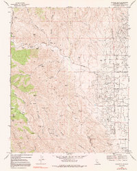
1969 Map of Alcalde Hills
USGS Topo · Published 1991About this map
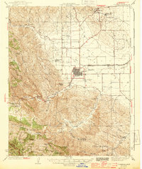
The Coalinga Oil Field dominates the eastern landscape of this Fresno County survey, where a grid of wells and service roads like Derrick Avenue and Tornado Avenue marks the industrial activity in Pleasant Valley. In sharp contrast, the western half of the map rises into the Alcalde Hills, a region defined by complex drainage systems and isolated landmarks. Researchers can locate Sprague Cabin near the head of Scott Canyon, and several important water sources such as Indian Springs, Mustang Spring, and Salt Spring. The transition from the high ridges of Juniper Ridge down to the creek beds is illustrated by the path of Los Gatos Creek, which features a Gaging Station and follows Los Gatos Road through the canyon. The southern portion of the sheet identifies the small settlement of Alcalde 2 near Dodge Hill.
Find a feature on this map
51 named features on this map. Tap any name to fly to it.
Don’t see what you’re looking for? This feature index may not catch every label — zoom into the map to look around manually.
Map Details
Editions of this 1969 Alcalde Hills Map
3 editions found
Other maps of this area

1912 · Coalinga
USGS Topo · 1:125,000

1915 · Priest Valley
USGS Topo · 1:125,000

1936 · Kreyenhagen Hills
USGS Topo · 1:31,680
1941 · Kreyenhagen Hills
USGS Topo · 1:31,680

1941 · Priest Valley
USGS Topo · 1:62,500

1943 · New Idria
USGS Topo · 1:62,500

1943 · Joaquin Rocks
USGS Topo · 1:62,500
1944 · Coalinga
USGS Topo · 1:62,500

1944 · Priest Valley
USGS Topo · 1:62,500

1948 · Santa Cruz
USGS Topo · 1:250,000