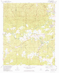
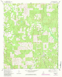
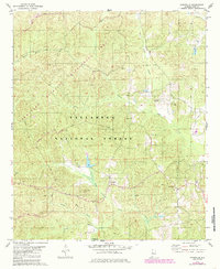
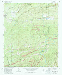
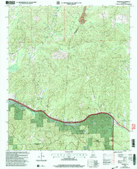
1979 Map of Aldrich
USGS Topo · Published 1980This historical map portrays the area of Aldrich in 1979, primarily covering Bibb County as well as portions of Chilton County and Shelby County. Featuring a scale of 1:24000, this map provides a highly detailed snapshot of the terrain, roads, buildings, counties, and historical landmarks in the Aldrich region at the time. Published in 1980, it is one of 2 known editions of this map due to revisions or reprints.
Find a feature on this map
47 named features on this map. Tap any name to fly to it.
Don’t see what you’re looking for? This feature index may not catch every label — zoom into the map to look around manually.
Map Details
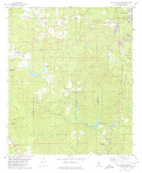
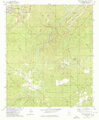
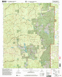
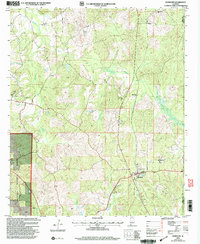
Editions of this 1979 Aldrich Map
2 editions found
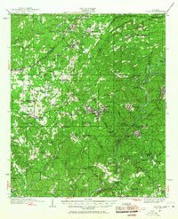
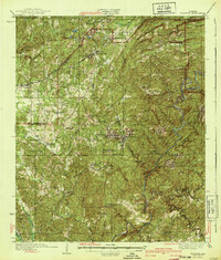
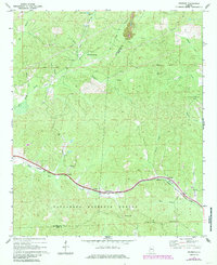
Historical Maps of Ashby Through Time
18 maps found
1934 Blocton
Bibb County, AL
1940 Blocton
Bibb County, AL
1969 Pearson
Bibb County, AL
1971 Randolph
Bibb County, AL
1975 Blocton NE
Bibb County, AL
1975 Montevallo SW
Bibb County, AL
1979 Aldrich
Bibb County, AL
1979 Pondville
Bibb County, AL
1979 West Blocton West
Bibb County, AL
1980 Centreville East
Bibb County, AL
1980 Centreville West
Bibb County, AL
1980 Halfmile Shoals
Bibb County, AL
1980 West Blocton East
Bibb County, AL
2002 Centreville East
Bibb County, AL
2002 Centreville West
Bibb County, AL
2002 Pearson
Bibb County, AL
2002 Pondville
Bibb County, AL
2002 Randolph
Bibb County, AL