2021 Map of Aldrich
USGS Topo · Published 2021About this map
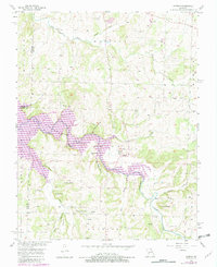
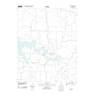
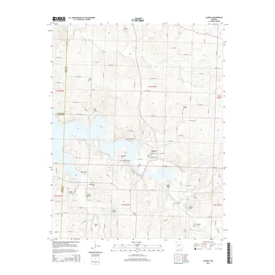
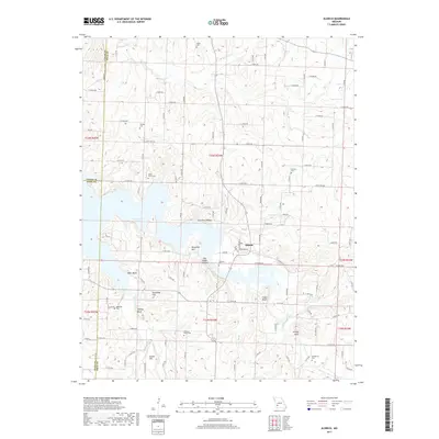
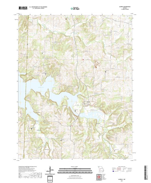
The waters of Stockton Lake dominate the landscape around Aldrich, where the reservoir's fingers reach into the surrounding Ozark hills. The community of Aldrich sits at a strategic junction near the lake's eastern shore, surrounded by a high density of family and community burial grounds including Hubbard Cem, Wollard Cem, and McDaniel Cem. The topography is defined by significant elevations such as Bungalow Hill, Knothead Hill, and Indian Hill, which overlook the winding course of the Little Sac River and its various tributaries like Bear Creek.
Find a feature on this map
65 named features on this map. Tap any name to fly to it.
Don’t see what you’re looking for? This feature index may not catch every label — zoom into the map to look around manually.
Map Details
Editions of this 2021 Aldrich Map
This is the sole edition of this map. No revisions or reprints were ever made.
Historical Maps of Aldrich Through Time
5 maps found