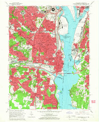
1965 Map of Alexandria
USGS Topo · Published 1966About this map
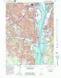
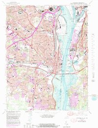
The Pentagon and Arlington National Cemetery stand as massive architectural and commemorative anchors along the western bank of the Potomac River during the mid-1960s. This survey records a period of intense suburban consolidation across Arlington County and Alexandria City, where established neighborhoods like Buckingham and Arlington Heights transition into the newer developments of Burgundy Village and Hollin Hills. The landscape is increasingly defined by large-scale institutional and military footprints, from the Bolling Air Force Base and Fort McNair to the sprawling Cameron Station Military Reservation. Significant infrastructure, including the Capital Beltway and Shirley Memorial Highway, carves through the terrain, while landmarks such as the Masonic National Memorial and the Virginia Theological Seminary provide a visual link to the region's deeper historical roots.
Find a feature on this map
211 named features on this map. Tap any name to fly to it.
Don’t see what you’re looking for? This feature index may not catch every label — zoom into the map to look around manually.
Map Details
Editions of this 1965 Alexandria Map
6 editions found
Other maps of this area

1890 · Mt. Vernon
USGS Topo · 1:125,000

1891 · Mt. Vernon
USGS Topo · 1:125,000

1892 · Brandywine
USGS Topo · 1:62,500

1894 · Mt. Vernon
USGS Topo · 1:125,000

1895 · Brandywine
USGS Topo · 1:62,500

1897 · Mt. Vernon
USGS Topo · 1:125,000

1899 · Patuxent
USGS Topo · 1:125,000

1900 · Washington
USGS Topo · 1:62,500

1906 · Patuxent
USGS Topo · 1:125,000

1911 · Brandywine
USGS Topo · 1:62,500