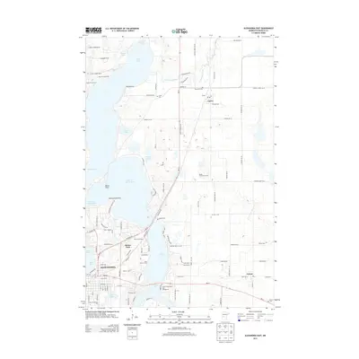
2013 Map of Alexandria East
USGS Topo · Published 2013About this map
The Long Prairie River flows northward through a landscape defined by glacial lakes and early 21st-century residential growth east of Alexandria. This record of the region shows the established settlements of Carlos and Nelson, connected by a network of county highways and local roads that navigate the complex shorelines of Lake Carlos, Lake Le Homme Dieu, and Lake Geneva. The map captures a mix of recreational and community infrastructure, including Luther Crest Camp and Nordic Trails Golf Course, alongside long-standing local landmarks like the Carlos Cem and Emmanuel Cem.
Find a feature on this map
98 named features on this map. Tap any name to fly to it.
Don’t see what you’re looking for? This feature index may not catch every label — zoom into the map to look around manually.
Map Details
Editions of this 2013 Alexandria East Map
This is the sole edition of this map. No revisions or reprints were ever made.
Other maps of this area

1953 · Brainerd
USGS Topo · 1:250,000

1953 · Saint Cloud
USGS Topo · 1:250,000

1957 · Brainerd
USGS Topo · 1:250,000

1957 · Saint Cloud
USGS Topo · 1:250,000

1958 · Saint Cloud
USGS Topo · 1:250,000

1958 · Brainerd
USGS Topo · 1:250,000

1965 · Brainerd
USGS Topo · 1:250,000

1966 · Alexandria West
USGS Topo · 1:24,000

1966 · Osakis
USGS Topo · 1:24,000

1966 · Lake Osakis West
USGS Topo · 1:24,000