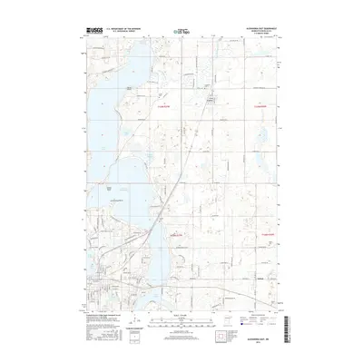
2016 Map of Alexandria East
USGS Topo · Published 2016About this map
Lake Le Homme Dieu, Lake Geneva, and Lake Victoria form a dominant chain of glacial water bodies defining the landscape east of the regional hub. This 2016 survey illustrates the intricate interface between residential development and the natural shoreline, characterized by features like Tolena Point and Government Point. To the north, the Long Prairie River meanders through the township of Carlos, while the village of Nelson anchors the southeastern corner of the map.
Find a feature on this map
74 named features on this map. Tap any name to fly to it.
Don’t see what you’re looking for? This feature index may not catch every label — zoom into the map to look around manually.
Map Details
Editions of this 2016 Alexandria East Map
This is the sole edition of this map. No revisions or reprints were ever made.
Other maps of this area

1953 · Brainerd
USGS Topo · 1:250,000

1953 · Saint Cloud
USGS Topo · 1:250,000

1957 · Brainerd
USGS Topo · 1:250,000

1957 · Saint Cloud
USGS Topo · 1:250,000

1958 · Saint Cloud
USGS Topo · 1:250,000

1958 · Brainerd
USGS Topo · 1:250,000

1965 · Brainerd
USGS Topo · 1:250,000

1966 · Alexandria West
USGS Topo · 1:24,000

1966 · Osakis
USGS Topo · 1:24,000

1966 · Lake Osakis West
USGS Topo · 1:24,000