Loading...
Loading map...1960 Map of Alexandria
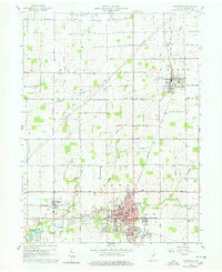
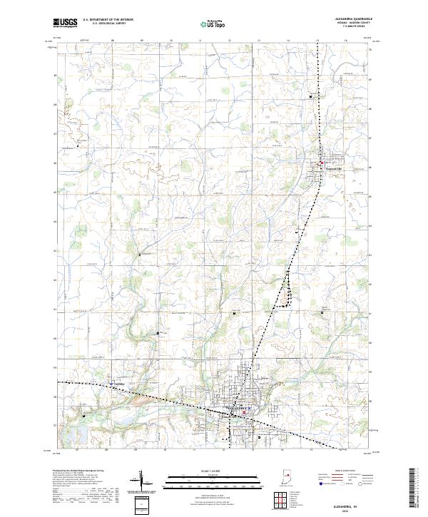
USGS Topo · Published 1978About this map
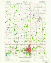
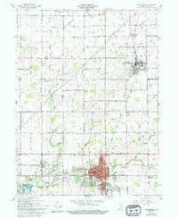
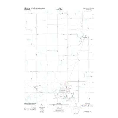
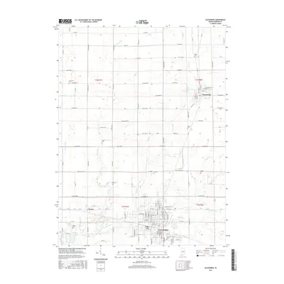
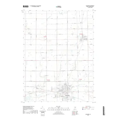
The industrial and agricultural landscape of northern Madison County is anchored by Alexandria and Summitville, two centers connected by the New York Central railroad. This 1960 field-checked survey reveals a region defined by its transport corridors and local drainage, such as Mud Creek and Lilly Creek. The rural sections are dotted with family-named landmarks and essential community institutions, including Union Chapel and the Cunningham School.
Find a feature on this map
45 named features on this map. Tap any name to fly to it.
Don’t see what you’re looking for? This feature index may not catch every label — zoom into the map to look around manually.
Map Details
Date Portrayed1960
Date Published1978
PublisherU.S. Geological Survey
Map TypeTopographic
Scale1:24,000
Physical Dimensions22.1 x 27 inches
Editions of this 1960 Alexandria Map
3 editions found
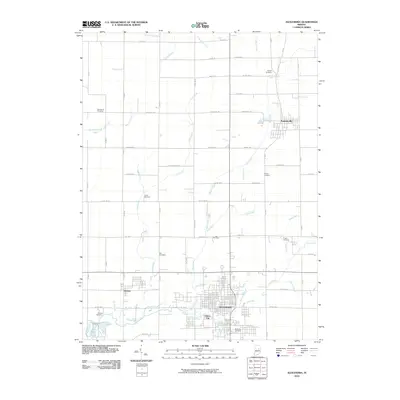
Historical Maps of Alexandria Through Time
6 maps found
Featured Locations
Source Details
SourceU.S. Geological Survey
CopyrightPublic Domain