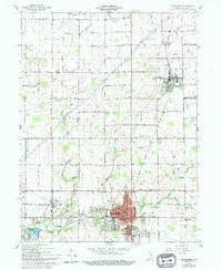
1960 Map of Alexandria
USGS Topo · Published 1994About this map
Alexandria and the surrounding townships of Boone, Van Buren, and Monroe define the landscape of northern Madison County. This 1960 survey, updated in the early 1990s, captures the industrial and agricultural rhythm of the era, centered on the Norfolk and Western railroad corridor. The grid of country roads reveals a dense network of local institutions, from Cunningham Sch to rural religious centers like Union Ch and Lilly Creek Ch.
Find a feature on this map
40 named features on this map. Tap any name to fly to it.
Don’t see what you’re looking for? This feature index may not catch every label — zoom into the map to look around manually.
Map Details
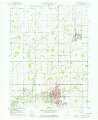
Editions of this 1960 Alexandria Map
3 editions found
Other maps of this area

1953 · Muncie
USGS Topo · 1:250,000

1956 · Muncie
USGS Topo · 1:250,000

1960 · Gilman
USGS Topo · 1:24,000

1960 · Elwood
USGS Topo · 1:24,000

1960 · Point Isabel
USGS Topo · 1:24,000

1960 · Alexandria
USGS Topo · 1:24,000

1960 · Fairmount
USGS Topo · 1:24,000

1960 · Gas City
USGS Topo · 1:24,000

1960 · Gaston
USGS Topo · 1:24,000

1960 · Anderson North
USGS Topo · 1:24,000