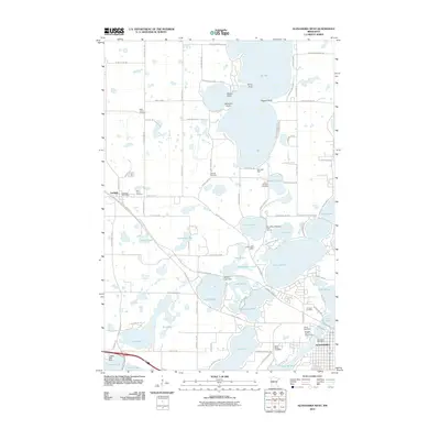
2010 Map of Alexandria West
USGS Topo · Published 2010About this map
Glacial lakes and modern infrastructure define the western outskirts of Alexandria in this detailed 2010 survey. The landscape is a intricate network of water bodies, including the sprawling Lake Ida, Lake Darling, and Lake Latoka, many of which are managed by local water control structures like the Ida Lake Dam and Brophy Lake Dam. The presence of several prominent points such as Stony Point and Pilgrim Point along the shorelines indicates the area's importance for local recreation and residential development.
Find a feature on this map
95 named features on this map. Tap any name to fly to it.
Don’t see what you’re looking for? This feature index may not catch every label — zoom into the map to look around manually.
Map Details
Editions of this 2010 Alexandria West Map
This is the sole edition of this map. No revisions or reprints were ever made.
Other maps of this area

1953 · Brainerd
USGS Topo · 1:250,000

1953 · Saint Cloud
USGS Topo · 1:250,000

1957 · Brainerd
USGS Topo · 1:250,000

1957 · Saint Cloud
USGS Topo · 1:250,000

1958 · Saint Cloud
USGS Topo · 1:250,000

1958 · Brainerd
USGS Topo · 1:250,000

1965 · Brainerd
USGS Topo · 1:250,000

1966 · Brandon
USGS Topo · 1:24,000

1966 · Alexandria West
USGS Topo · 1:24,000

1966 · Farwell
USGS Topo · 1:24,000