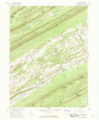
1959 Map of Alfarata
USGS Topo · Published 1971About this map
Armagh Mountain and New Bald Eagle Jacks Mountain dominate this Central Pennsylvania landscape, creating a series of parallel valleys such as Honey Valley and Dry Valley. The settlement patterns of the late 1950s and 1960s follow these narrow corridors, with small communities like Alfarata and Belltown serving as local hubs. Along the southern edge of the quadrangle, the Penn Central rail line tracks the base of Shade Mountain, while an Old Railroad Grade near Soradoville points to earlier industrial transportation routes. This survey also documents essential community landmarks for genealogists, including Decatur Sch, Lawyers Ch, and several family-named gaps like Kearns Gap and Showalter Gap that provided passage through the high ridges of the Bald Eagle State Forest.
Find a feature on this map
57 named features on this map. Tap any name to fly to it.
Don’t see what you’re looking for? This feature index may not catch every label — zoom into the map to look around manually.
Map Details
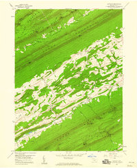
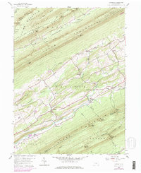
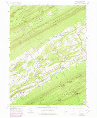
Editions of this 1959 Alfarata Map
4 editions found
Other maps of this area

1924 · Centre Hall
USGS Topo · 1:62,500

1924 · Lewistown
USGS Topo · 1:62,500

1925 · Mifflintown
USGS Topo · 1:48,000

1927 · Lewisburg
USGS Topo · 1:62,500

1929 · Centre Hall
USGS Topo · 1:62,500

1934 · Mifflintown
USGS Topo · 1:62,500

1937 · Mifflintown
USGS Topo · 1:62,500

1937 · Millheim
USGS Topo · 1:48,000

1941 · Millheim
USGS Topo · 1:62,500

1943 · Lewistown
USGS Topo · 1:125,000
Featured Places
- Decatur Township, PA
- Derry Township, PA
- Armagh Township, PA
- Snook, Decatur Township
- Shindle, Decatur Township