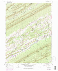
1959 Map of Alfarata
USGS Topo · Published 1978About this map
Jacks Mountain and the parallel ridges of Thick Mountain and Shade Mountain define the rhythmic topography of this Central Pennsylvania landscape. Between these summits, valley settlements such as Alfarata and Paintersville are connected by a network of rural roads and the Conrail rail line. The map reveals the local social fabric through landmarks like Decatur Sch and the Alfarata Cem, while the industrial and recreational character of the land is seen in the Strip Mine and the Wagner Lookout Tower. A distinctive historical detail is the Old Railroad Grade near Wagner, which points to an earlier era of transportation through the Decatur Valley. From the depths of Seawra Cave to the peaks of the Bald Eagle State Forest, this survey documents a mid-century community shaped by its deep limestone valleys.
Find a feature on this map
60 named features on this map. Tap any name to fly to it.
Don’t see what you’re looking for? This feature index may not catch every label — zoom into the map to look around manually.
Map Details
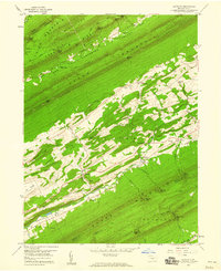
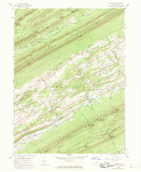
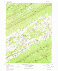
Editions of this 1959 Alfarata Map
4 editions found
Other maps of this area

1924 · Centre Hall
USGS Topo · 1:62,500

1924 · Lewistown
USGS Topo · 1:62,500

1925 · Mifflintown
USGS Topo · 1:48,000

1927 · Lewisburg
USGS Topo · 1:62,500

1929 · Centre Hall
USGS Topo · 1:62,500

1934 · Mifflintown
USGS Topo · 1:62,500

1937 · Mifflintown
USGS Topo · 1:62,500

1937 · Millheim
USGS Topo · 1:48,000

1941 · Millheim
USGS Topo · 1:62,500

1943 · Lewistown
USGS Topo · 1:125,000
Featured Places
- Decatur Township, PA
- Derry Township, PA
- Armagh Township, PA
- Snook, Decatur Township
- Shindle, Decatur Township