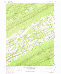
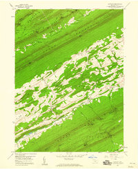
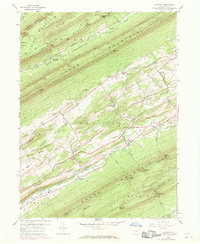
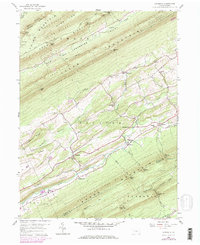
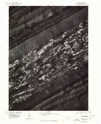
1959 Map of Alfarata
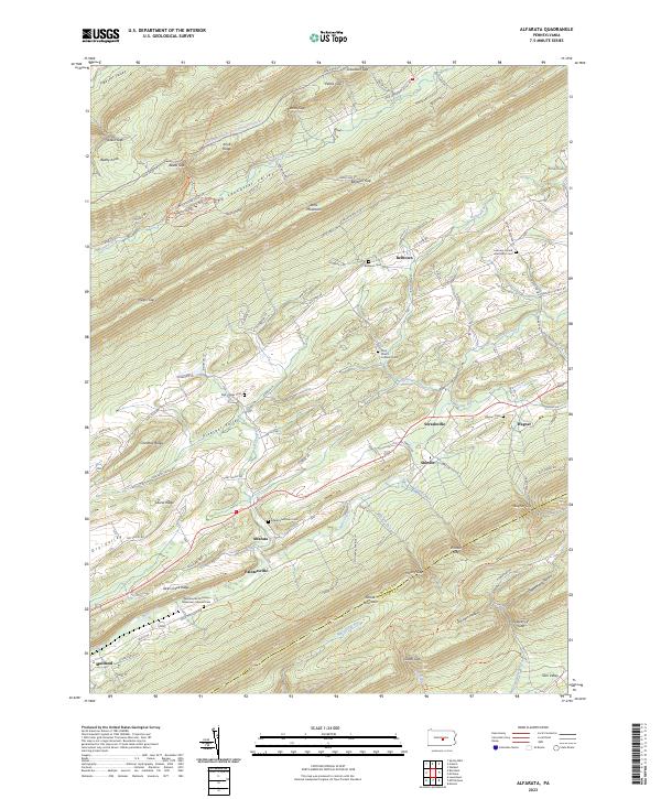
USGS Topo · Published 1978About this map
Bald Eagle Ridge and Jacks Mountain dominate this landscape, sandwiching the valley where Decatur and Derry townships are settled. The central corridor of Jacks Creek serves as the primary axis for movement, home to the village of Alfarata and the neighboring Alfarata Cem. While the terrain is heavily forested, particularly within Bald Eagle State Forest and State Game Lands No 107, the valleys are dotted with community landmarks like Decatur Sch, St Marks Ch, and Lawvers Ch. Industrial traces are evident in several locations, including a Strip Mine and the Old Railroad Grade north of Wagner Ch. This survey, updated with 1970s revisions, illustrates a rural Pennsylvania landscape where traditional settlement patterns persist alongside the Conrail line and modernizing infrastructure.
Find a feature on this map
59 named features on this map. Tap any name to fly to it.
Don’t see what you’re looking for? This feature index may not catch every label — zoom into the map to look around manually.
Map Details
Editions of this 1959 Alfarata Map
4 editions found
Historical Maps of Decatur Township Through Time
3 maps found
Featured Locations
- Armagh Township, PA
- Decatur Township, PA
- Derry Township, PA
- Shindle, Decatur Township
- Snook, Decatur Township