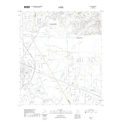
2019 Map of Algoa
USGS Topo · Published 2019About this map
Dickinson Bayou and Mustang Bayou wind through this coastal Texas landscape, marking the transition between the urban expansion of League City and the more dispersed settlements of the interior. The survey captures the suburban development patterns of Friendswood in the north and the commercial hub of Alvin to the west. While residential streets like Choate Rd and Hastings Rd define the newer neighborhoods, older cultural markers remain, such as the Magnolia Cem and Bethany Ch. The settlement of Algoa serves as a central point where local roads and the drainage systems of the American Canal converge. This 2019 edition illustrates how modern infrastructure in the Santa Fe and Arcadia areas is superimposed upon the historic water management and agricultural drainage network of Galveston and Brazoria counties.
Find a feature on this map
271 named features on this map. Tap any name to fly to it.
Don’t see what you’re looking for? This feature index may not catch every label — zoom into the map to look around manually.
Map Details
Editions of this 2019 Algoa Map
This is the sole edition of this map. No revisions or reprints were ever made.
Other maps of this area

1916 · Genoa
USGS Topo · 1:24,000

1916 · Seabrook
USGS Topo · 1:24,000

1920 · Seabrook
USGS Topo · 1:31,680

1920 · Genoa
USGS Topo · 1:31,680

1920 · Mykawa
USGS Topo · 1:31,680

1929 · Dickinson
USGS Topo · 1:24,000

1929 · Algoa
USGS Topo · 1:24,000

1929 · Hitchcock
USGS Topo · 1:24,000

1932 · Algoa
USGS Topo · 1:31,680
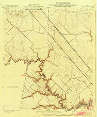
1932 · Genoa
USGS Topo · 1:31,680