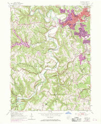
1954 Map of Aliquippa
USGS Topo · Published 1970About this map
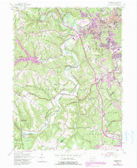
Aliquippa serves as the industrial and urban anchor in this mid-century survey, showing the expanded residential reaches of New Sheffield and Scottsville during the post-war era. The landscape is a transition from the dense urban grid of the river valley to the rural ridges of Hopewell and Independence townships. Family history is etched into the terrain at the John Anderson Memorial Cem and Woodlawn Cem, while community life centers around rural institutions like the Raccoon Grange and Service United Ch.
Find a feature on this map
53 named features on this map. Tap any name to fly to it.
Don’t see what you’re looking for? This feature index may not catch every label — zoom into the map to look around manually.
Map Details
Editions of this 1954 Aliquippa Map
6 editions found
Other maps of this area

1901 · Beaver
USGS Topo · 1:62,500

1904 · Beaver
USGS Topo · 1:62,500

1904 · Carnegie
USGS Topo · 1:62,500

1904 · Burgettstown
USGS Topo · 1:62,500

1906 · Burgettstown
USGS Topo · 1:62,500

1906 · Carnegie
USGS Topo · 1:62,500

1906 · Sewickley
USGS Topo · 1:62,500

1908 · Sewickley
USGS Topo · 1:62,500

1908 · Carnegie
USGS Topo · 1:62,500

1951 · Canton
USGS Topo · 1:250,000
Featured Places
- Moon Township, PA
- Center Township, PA
- Aliquippa, PA
- Independence Township, PA
- Bocktown, Independence Township