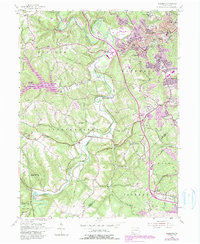
1954 Map of Aliquippa
USGS Topo · Published 1990About this map
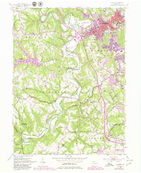
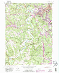
Aliquippa serves as the industrial and residential anchor of this 1950s landscape, which transitions quickly from dense urban grids to the winding valleys of Raccoon Creek. While the northern section is marked by the developed neighborhoods of New Sheffield and Scottsville, the southern and western portions reflect a more rural character defined by agricultural heritage and conservation. Genealogy researchers can find numerous small burial grounds and parish sites, such as the John Anderson Memorial Cem near the Service United Ch and the Mt Olivet Cem in the township of Independence. The landscape is punctuated by infrastructure and recreation, from the Lincoln Highway cutting across the south to the vast tracts of State Game Lands No 189 and Raccoon Creek State Park. Small settlements like Gringo, Rocktown, and Five Points provide clear evidence of earlier crossroads communities that persisted amidst the mid-century expansion of the Greater Pittsburgh International Airport nearby.
Find a feature on this map
46 named features on this map. Tap any name to fly to it.
Don’t see what you’re looking for? This feature index may not catch every label — zoom into the map to look around manually.
Map Details
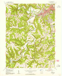
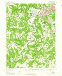
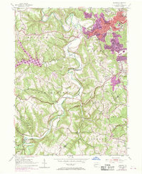
Editions of this 1954 Aliquippa Map
6 editions found
Other maps of this area

1901 · Beaver
USGS Topo · 1:62,500

1904 · Beaver
USGS Topo · 1:62,500

1904 · Carnegie
USGS Topo · 1:62,500

1904 · Burgettstown
USGS Topo · 1:62,500

1906 · Burgettstown
USGS Topo · 1:62,500

1906 · Carnegie
USGS Topo · 1:62,500

1906 · Sewickley
USGS Topo · 1:62,500

1908 · Sewickley
USGS Topo · 1:62,500

1908 · Carnegie
USGS Topo · 1:62,500

1951 · Canton
USGS Topo · 1:250,000
Featured Places
- Moon Township, PA
- Center Township, PA
- Aliquippa, PA
- Independence Township, PA
- Bocktown, Independence Township