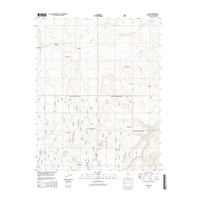
2013 Map of Alire
USGS Topo · Published 2013About this map
Alire and the surrounding high-country landscape of Rio Arriba County are defined by a complex network of canyons and livestock infrastructure within the Carson National Forest. The 2013 terrain is etched by the Rio Cebolla and the dry beds of Arroyo Blanco and Cañada de Humo, which drain the elevated Mesa de los Viejos to the south. This area serves as a significant grazing and water management zone, evidenced by the high density of named tanks and springs used for land management and ranching.
Find a feature on this map
36 named features on this map. Tap any name to fly to it.
Don’t see what you’re looking for? This feature index may not catch every label — zoom into the map to look around manually.
Map Details
Editions of this 2013 Alire Map
This is the sole edition of this map. No revisions or reprints were ever made.
Other maps of this area

1909 · Gallina
USGS Topo · 1:125,000

1918 · Abiquiu
USGS Topo · 1:125,000

1918 · Tusas
USGS Topo · 1:125,000

1953 · Alire
USGS Topo · 1:24,000

1953 · Echo Ampitheater
USGS Topo · 1:24,000

1953 · Canjilon
USGS Topo · 1:24,000

1953 · Laguna Peak
USGS Topo · 1:24,000

1953 · Navajo Peak
USGS Topo · 1:24,000

1953 · Ghost Ranch
USGS Topo · 1:24,000

1954 · Aztec
USGS Topo · 1:250,000