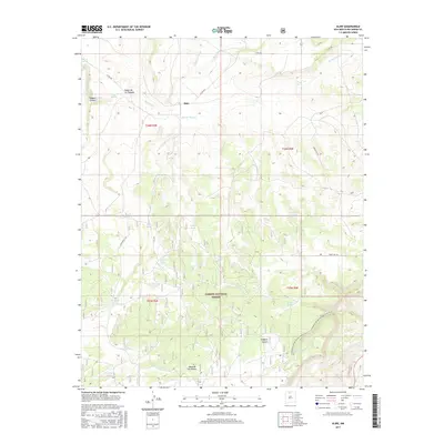
2017 Map of Alire
USGS Topo · Published 2017About this map
Alire sits within a landscape defined by seasonal water management and high-altitude terrain in Rio Arriba County. This 2017 survey reveals the intricate network of tanks and reservoirs necessary for ranching and forest management, including Trujillo Tank, Garcia Tank, and Campbell Tank. The northern reaches are carved by the Rio Cebolla, which flows through deep incisions like Daggett Canyon. Much of the southern portion is occupied by the high plateau of the Mesa de los Viejos, a prominent landform within the Carson National Forest. For those navigating the backcountry, the Continental Divide National Scenic Trail winds through the southeastern corner, crossing the head of Joaquin Canyon. The map also details access via Hines Ranch Rd. and various forest roads, reflecting the region's contemporary use for recreation and land stewardship.
Find a feature on this map
33 named features on this map. Tap any name to fly to it.
Don’t see what you’re looking for? This feature index may not catch every label — zoom into the map to look around manually.
Map Details
Editions of this 2017 Alire Map
This is the sole edition of this map. No revisions or reprints were ever made.
Other maps of this area

1909 · Gallina
USGS Topo · 1:125,000

1918 · Abiquiu
USGS Topo · 1:125,000

1918 · Tusas
USGS Topo · 1:125,000

1953 · Alire
USGS Topo · 1:24,000

1953 · Echo Ampitheater
USGS Topo · 1:24,000

1953 · Canjilon
USGS Topo · 1:24,000

1953 · Laguna Peak
USGS Topo · 1:24,000

1953 · Navajo Peak
USGS Topo · 1:24,000

1953 · Ghost Ranch
USGS Topo · 1:24,000

1954 · Aztec
USGS Topo · 1:250,000