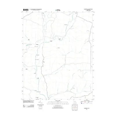
2011 Map of Allbright
USGS Topo · Published 2011About this map
Allbright and the small settlement of Castor sit at the center of this Missouri landscape, where the Upper Castor River and its numerous tributaries have carved a series of named hollows. This 2011 survey reveals a region defined by its narrow valley floors and timbered ridges, including White Hollow, Wolfpen Hollow, and Red Sea Hollow. The presence of Britton Lake Dam and Lake Wopalänne suggests managed water resources in an otherwise river-fed terrain, while the rural road network, including Madison 313 and Madison 318, connects these isolated communities.
Find a feature on this map
47 named features on this map. Tap any name to fly to it.
Don’t see what you’re looking for? This feature index may not catch every label — zoom into the map to look around manually.
Map Details
Editions of this 2011 Allbright Map
This is the sole edition of this map. No revisions or reprints were ever made.
Other maps of this area

1930 · Coldwater
USGS Topo · 1:62,500

1933 · Marquand
USGS Topo · 1:62,500

1934 · Greenville
USGS Topo · 1:62,500

1935 · Zalma
USGS Topo · 1:62,500

1938 · Marquand
USGS Topo · 1:62,500

1939 · Greenville
USGS Topo · 1:62,500

1939 · Zalma
USGS Topo · 1:62,500

1949 · Rolla
USGS Topo · 1:250,000

1949 · Coldwater
USGS Topo · 1:62,500

1953 · Rolla
USGS Topo · 1:250,000