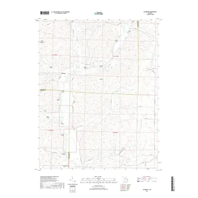
2017 Map of Allbright
USGS Topo · Published 2017About this map
The Saint Francois Mountains anchor the western portion of this Missouri survey, giving way to a landscape defined by its complex drainage network and numerous hollows. The settlement of Allbright serves as a central point where the Upper Castor River flows south, joined by various tributaries such as Gimlet Cr and Shelley Cr. The map reveals a deeply etched topography where family and community history is preserved in several small burial grounds, including Rickman Cem, Rhodes Cem, and Moores Chapel Cem.
Find a feature on this map
57 named features on this map. Tap any name to fly to it.
Don’t see what you’re looking for? This feature index may not catch every label — zoom into the map to look around manually.
Map Details
Editions of this 2017 Allbright Map
This is the sole edition of this map. No revisions or reprints were ever made.
Other maps of this area

1930 · Coldwater
USGS Topo · 1:62,500

1933 · Marquand
USGS Topo · 1:62,500

1934 · Greenville
USGS Topo · 1:62,500

1935 · Zalma
USGS Topo · 1:62,500

1938 · Marquand
USGS Topo · 1:62,500

1939 · Greenville
USGS Topo · 1:62,500

1939 · Zalma
USGS Topo · 1:62,500

1949 · Rolla
USGS Topo · 1:250,000

1949 · Coldwater
USGS Topo · 1:62,500

1953 · Rolla
USGS Topo · 1:250,000