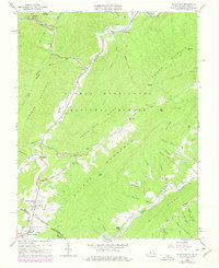
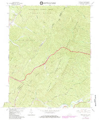
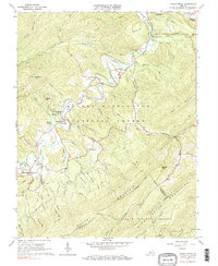
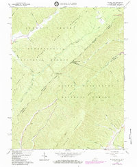
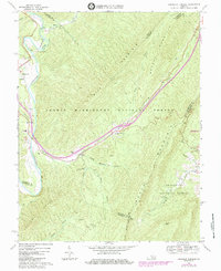
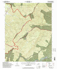
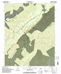
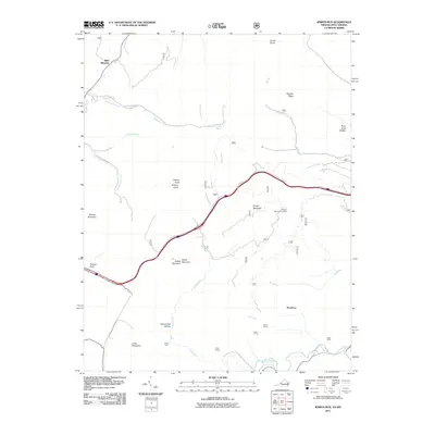
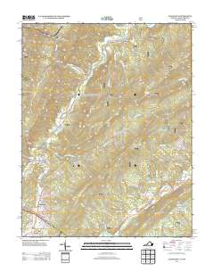
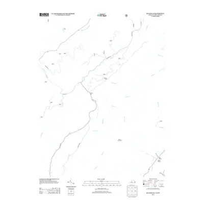
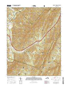
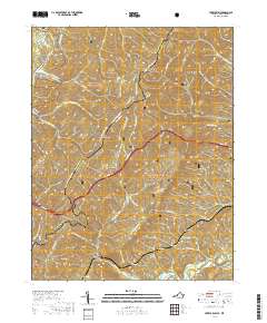
1966 Map of Alleghany
USGS Topo · Published 1978About this map
Peters Mountain and Snake Run Ridge define the steep topography of this borderland where Virginia and West Virginia meet. The Chesapeake and Ohio railroad corridor is a focal point of engineering, featuring the Lewis Tunnel and its associated Lewis Tunnel Cem. Small mountain settlements like Alleghany and Hematite dot the narrow valleys of Tygers Creek and Dunlap Creek, while the southern reaches center on the historic resort atmosphere of Sweet Springs and Sweet Chalybeate.
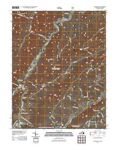
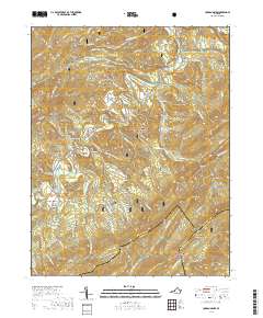
Find a feature on this map
73 named features on this map. Tap any name to fly to it.
Don’t see what you’re looking for? This feature index may not catch every label — zoom into the map to look around manually.
Map Details
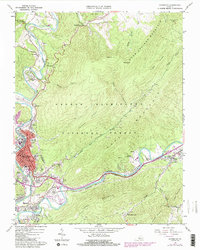
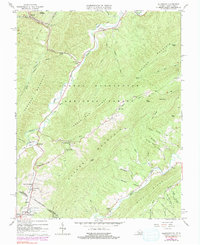
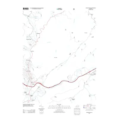
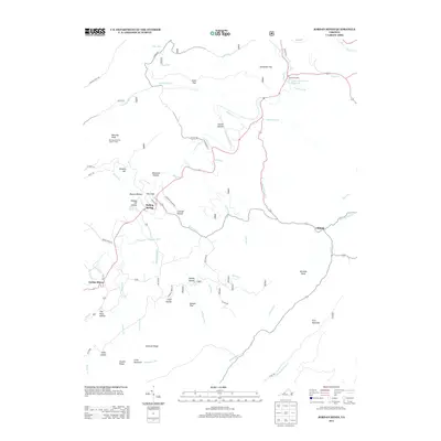
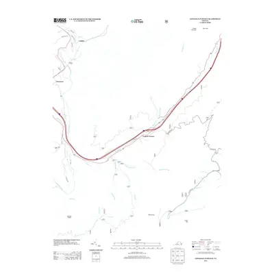
Editions of this 1966 Alleghany Map
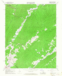
Historical Maps of Crows Through Time
38 maps found
1962 Covington
Alleghany County, VA
1966 Allegany
Alleghany County, VA
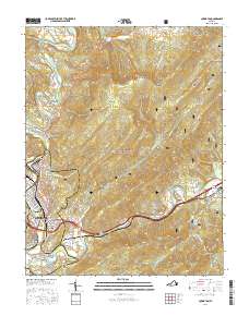
1966 Jerrys Run
Alleghany County, VA
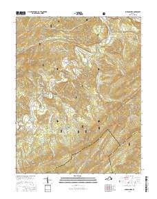
1966 Jordan Mines
Alleghany County, VA
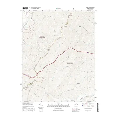
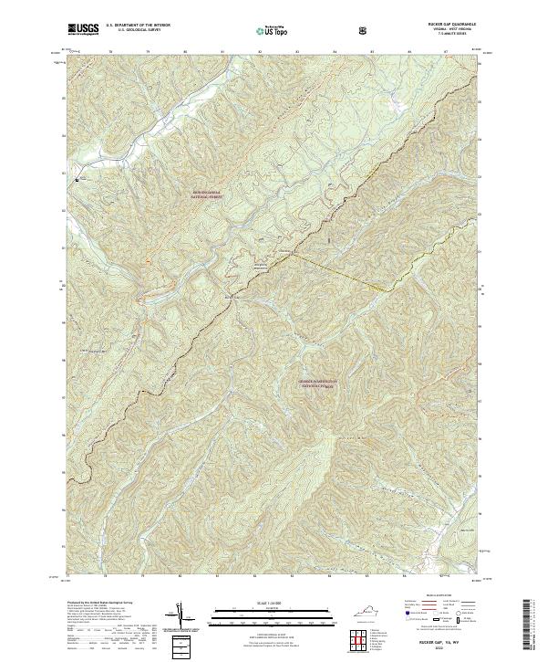
1966 Rucker Gap
Alleghany County, VA
1969 Longdale Furnace
Alleghany County, VA
1995 Jerrys Run
Alleghany County, VA
1995 Rucker Gap
Alleghany County, VA
2011 Alleghany
Alleghany County, VA
2011 Covington
Alleghany County, VA
2011 Jerrys Run
Alleghany County, VA
2011 Jordan Mines
Alleghany County, VA
2011 Longdale Furnace
Alleghany County, VA
2011 Rucker Gap
Alleghany County, VA
2013 Alleghany
Alleghany County, VA
2013 Covington
Alleghany County, VA

2013 Jerrys Run
Alleghany County, VA
2013 Jordan Mines
Alleghany County, VA
2013 Longdale Furnace
Alleghany County, VA
2013 Rucker Gap
Alleghany County, VA

2016 Alleghany
Alleghany County, VA
2016 Covington
Alleghany County, VA
2016 Jerrys Run
Alleghany County, VA
2016 Jordan Mines
Alleghany County, VA
2016 Longdale Furnace
Alleghany County, VA
2016 Rucker Gap
Alleghany County, VA
2019 Alleghany
Alleghany County, VA
2019 Covington
Alleghany County, VA
2019 Jerrys Run
Alleghany County, VA
2019 Jordan Mines
Alleghany County, VA
2019 Longdale Furnace
Alleghany County, VA

2019 Rucker Gap
Alleghany County, VA
2022 Alleghany
Alleghany County, VA
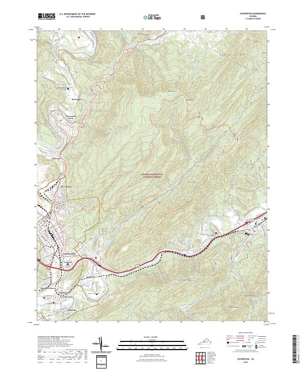
2022 Covington
Alleghany County, VA
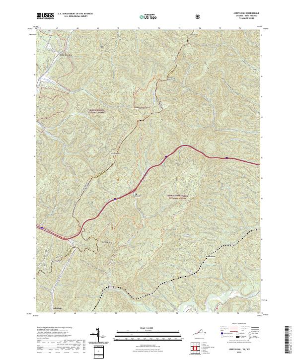
2022 Jerrys Run
Alleghany County, VA
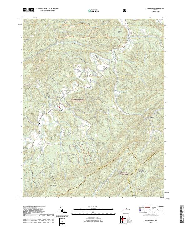
2022 Jordan Mines
Alleghany County, VA
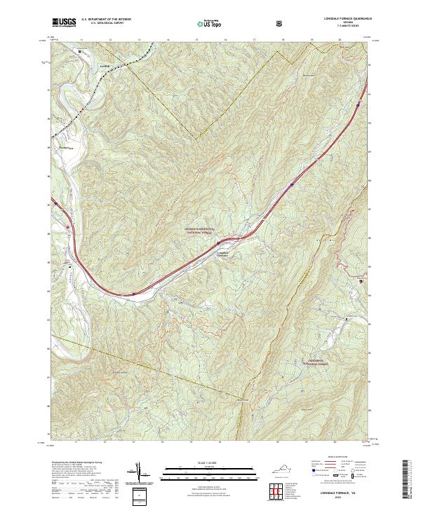
2022 Longdale Furnace
Alleghany County, VA
2022 Rucker Gap
Alleghany County, VA