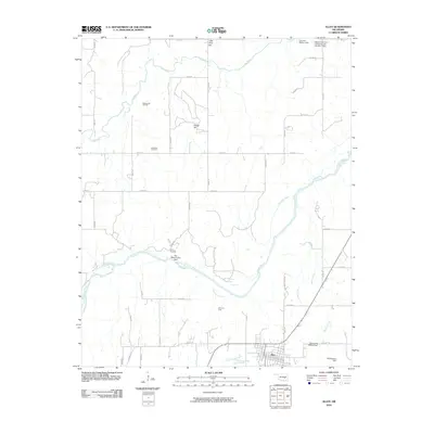
2010 Map of Allen
USGS Topo · Published 2010About this map
Holdenville Oil Field and the Allen Oil Field dominate the landscape of south-central Oklahoma in this 2010 survey, reflecting the region's enduring connection to the petroleum industry. The town of Allen sits at the southern edge of the map, serving as a hub for the surrounding rural sections. The terrain is defined by the winding course of the Canadian River and its various tributaries, including Arbeca Creek and Little Sandy Creek.
Find a feature on this map
40 named features on this map. Tap any name to fly to it.
Don’t see what you’re looking for? This feature index may not catch every label — zoom into the map to look around manually.
Map Details
Editions of this 2010 Allen Map
This is the sole edition of this map. No revisions or reprints were ever made.
Other maps of this area

1896 · Seminole and Prague
USGS Topo · 1:125,000

1896 · Coalgate
USGS Topo · 1:125,000

1899 · Coalgate
USGS Topo · 1:125,000

1900 · Wewoka
USGS Topo · 1:125,000

1900 · Coalgate
USGS Topo · 1:125,000

1901 · Stonewall
USGS Topo · 1:125,000

1954 · Oklahoma City
USGS Topo · 1:250,000

1957 · Ardmore
USGS Topo · 1:250,000

1957 · Oklahoma City
USGS Topo · 1:250,000

1958 · Sasakwa
USGS Topo · 1:24,000