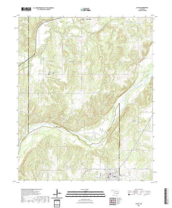
2022 Map of Allen
USGS Topo · Published 2022About this map
The Canadian River carves a winding path through this portion of Oklahoma, marking a natural boundary where Hughes, Pontotoc, and Seminole counties meet. The settlement of Allen serves as a primary anchor in the southern portion of the map, while Spaulding occupies the northern reaches near Little River Hill. This landscape is defined by the convergence of several waterways, including the Little River and Arbeca Cr, which feed into the larger river systems that shaped the region's early development and agricultural boundaries.
Find a feature on this map
68 named features on this map. Tap any name to fly to it.
Don’t see what you’re looking for? This feature index may not catch every label — zoom into the map to look around manually.
Map Details
Editions of this 2022 Allen Map
This is the sole edition of this map. No revisions or reprints were ever made.
Other maps of this area

1896 · Seminole and Prague
USGS Topo · 1:125,000

1896 · Coalgate
USGS Topo · 1:125,000

1899 · Coalgate
USGS Topo · 1:125,000

1900 · Wewoka
USGS Topo · 1:125,000

1900 · Coalgate
USGS Topo · 1:125,000

1901 · Stonewall
USGS Topo · 1:125,000

1954 · Oklahoma City
USGS Topo · 1:250,000

1957 · Ardmore
USGS Topo · 1:250,000

1957 · Oklahoma City
USGS Topo · 1:250,000

1958 · Sasakwa
USGS Topo · 1:24,000